Shumikha night lights from space
Night Light of Shumikha (Kurgan Oblast) from space (Russia) Src. Average luminocity for 10x10km area is 6.86% and for 50x50km: 0.4865%.
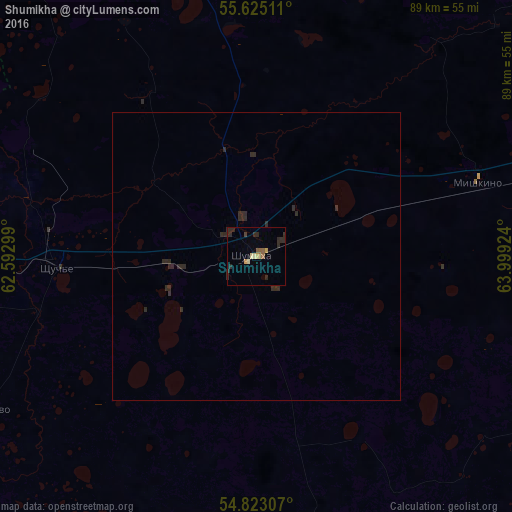
Analysis of Shumikha night lights 2016
Square area 10x10 km:
 0%
0%90-99
0.24%80-89
1.67%70-79
0.96%60-69
0.48%50-59
1.91%40-49
0.48%30-39
0.12%20-29
6.1%10-19
0%0-9
88.04%Square area 50x50 km:
0%90-99
0.01%80-89
0.07%70-79
0.04%60-69
0.02%50-59
0.08%40-49
0.02%30-39
0.08%20-29
0.83%10-19
0%0-9
98.85%Clear (daylight) street map image can be seen on geolist.org.
Map coordinates:
55° 37' 30.4" North, 62° 35' 34.8" East
55° 13' 34" North, 63° 17' 46" East
54° 49' 23.1" North, 63° 59' 57.3" East
Some cities around Shumikha sort by population:
• Shadrinsk
97.8 km =60.8 mi,  12°
12°
• Kurtamysh
80.4 km =50 mi,  115°
115°
• Gornyak
102.9 km =63.9 mi,  264°
264°
• Miasskoye
89.3 km =55.5 mi,  273°
273°
• Potanino
106.3 km =66.1 mi, 267°
• Mishkino
41.3 km =25.7 mi,  72°
72°
• Yurgamysh
75.6 km =47 mi,  77°
77°
• Tselinnoye
84.2 km =52.3 mi,  163°
163°
1491999 (p: 18,499)
Sources (retrieved 2019-11-25):
» Earth at Night: Flat Maps 2012, 2016