Lesnikovo night lights from space
Night Light of Lesnikovo (Kurgan Oblast) from space (Russia) Src. Average luminocity for 10x10km area is 0% and for 50x50km: 4.0388%.
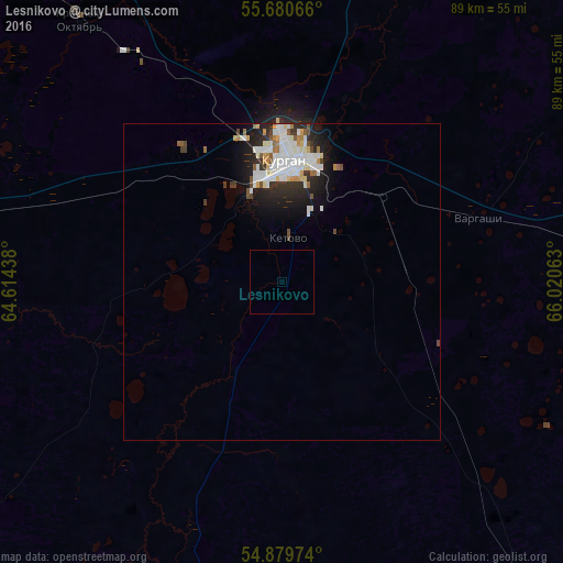
Analysis of Lesnikovo night lights 2016
Square area 10x10 km:
 0%
0%90-99
0%80-89
0%70-79
0%60-69
0%50-59
0%40-49
0%30-39
0%20-29
0%10-19
0%0-9
100%Square area 50x50 km:
0.99%90-99
1.12%80-89
0.32%70-79
0.36%60-69
0.28%50-59
0.31%40-49
0.37%30-39
0.41%20-29
1.21%10-19
2.15%0-9
92.49%Clear (daylight) street map image can be seen on geolist.org.
Map coordinates:
55° 40' 50.4" North, 64° 36' 51.8" East
55° 16' 56" North, 65° 19' 3" East
54° 52' 47.1" North, 66° 1' 14.3" East
Some cities around Lesnikovo sort by population:
• Kurgan
18.7 km =11.6 mi,  3°
3°
• Kurtamysh
69.9 km =43.4 mi,  233°
233°
• Vargashi
34.5 km =21.4 mi,  76°
76°
• Yurgamysh
55.1 km =34.2 mi,  280°
280°
• Ketovo
8.1 km =5 mi, 3°
• Lebyazh’ye
74.6 km =46.4 mi,  91°
91°
• Ikovka
43.5 km =27 mi,  326°
326°
• Polovinnoye
69.2 km =43 mi,  142°
142°
1500629 (p: 5,864)
Sources (retrieved 2019-11-25):
» Earth at Night: Flat Maps 2012, 2016