Slantsy night lights from space
Night Light of Slantsy (Leningradskaya Oblast') from space (Russia) Src. Average luminocity for 10x10km area is 16.5828% and for 50x50km: 1.3273%.
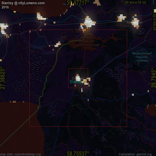
Analysis of Slantsy night lights 2016
Square area 10x10 km:
 2.04%
2.04%90-99
2.95%80-89
3.4%70-79
2.38%60-69
2.49%50-59
1.25%40-49
0%30-39
0%20-29
0%10-19
19.39%0-9
66.1%Square area 50x50 km:
0.12%90-99
0.21%80-89
0.21%70-79
0.14%60-69
0.27%50-59
0.09%40-49
0.02%30-39
0%20-29
0.04%10-19
1.3%0-9
97.58%Clear (daylight) street map image can be seen on geolist.org.
Map coordinates:
59° 28' 37.8" North, 27° 23' 17.7" East
59° 7' 5.4" North, 28° 5' 28.9" East
58° 45' 19.3" North, 28° 47' 40.2" East
Some cities around Slantsy sort by population:
• Narva, EE
29.3 km =18.2 mi,  11°
11°
• Kingisepp
41.1 km =25.5 mi,  46°
46°
• Kohtla-Järve, EE
56 km =34.8 mi,  303°
303°
• Sillamäe, EE
36.2 km =22.5 mi,  328°
328°
• Jõhvi, EE
46.6 km =29 mi,  305°
305°
• Ivangorod
29.1 km =18.1 mi, 14°
• Kiviõli, EE
68.9 km =42.8 mi,  292°
292°
• Gdov
44.4 km =27.6 mi,  200°
200°
492162 (p: 36,209)
Sources (retrieved 2019-11-25):
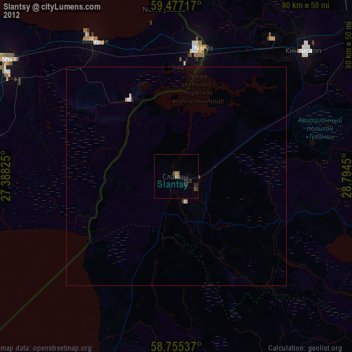
» Earth at Night: Flat Maps 2012, 2016