Kohtla-Järve night lights from space
Night Light of Kohtla-Järve (Ida-Virumaa) from space (Estonia) Src. Average luminocity for 10x10km area is 22.8777% and for 50x50km: 2.7554%.
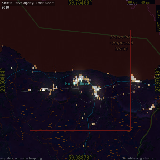
Analysis of Kohtla-Järve night lights 2016
Square area 10x10 km:
 4.44%
4.44%90-99
3.79%80-89
1.3%70-79
1.84%60-69
6.06%50-59
2.92%40-49
0.22%30-39
0%20-29
0.22%10-19
30.74%0-9
48.48%Square area 50x50 km:
0.5%90-99
0.51%80-89
0.2%70-79
0.28%60-69
0.45%50-59
0.31%40-49
0.15%30-39
0%20-29
0.06%10-19
2.58%0-9
94.96%Clear (daylight) street map image can be seen on geolist.org.
Map coordinates:
59° 45' 16.8" North, 26° 34' 11.8" East
59° 23' 55" North, 27° 16' 23" East
59° 2' 19.6" North, 27° 58' 34.3" East
Some cities around Kohtla-Järve sort by population:
• Narva
52 km =32.3 mi,  92°
92°
• Kingisepp, RU
75.9 km =47.2 mi, 92°
• Slantsy, RU
56 km =34.8 mi,  123°
123°
• Rakvere
52.3 km =32.5 mi,  263°
263°
• Sillamäe
27.8 km =17.3 mi, 90°
• Jõhvi
9.5 km =5.9 mi, 117°
• Ivangorod, RU
53.5 km =33.2 mi, 93°
• Kiviõli
17.8 km =11.1 mi,  253°
253°
591260 (p: 46,060)
Sources (retrieved 2019-11-25):
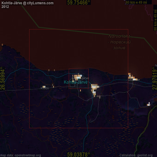
» Earth at Night: Flat Maps 2012, 2016