Narva night lights from space
Night Light of Narva (Ida-Virumaa) from space (Estonia) Src. Average luminocity for 10x10km area is 32.6764% and for 50x50km: 3.48%.
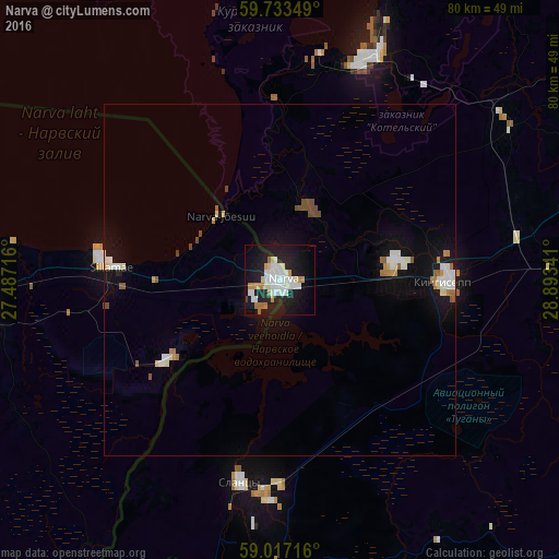
Analysis of Narva night lights 2016
Square area 10x10 km:
 9.96%
9.96%90-99
7.79%80-89
2.06%70-79
3.14%60-69
3.68%50-59
0.22%40-49
0.11%30-39
0.32%20-29
9.42%10-19
34.31%0-9
29%Square area 50x50 km:
0.66%90-99
0.82%80-89
0.24%70-79
0.3%60-69
0.38%50-59
0.24%40-49
0.36%30-39
0.03%20-29
0.41%10-19
3.04%0-9
93.52%Clear (daylight) street map image can be seen on geolist.org.
Map coordinates:
59° 44' 0.6" North, 27° 29' 13.8" East
59° 22' 38" North, 28° 11' 25" East
59° 1' 1.8" North, 28° 53' 36.3" East
Some cities around Narva sort by population:
• Kingisepp, RU
24 km =14.9 mi,  91°
91°
• Kohtla-Järve
52 km =32.3 mi,  272°
272°
• Slantsy, RU
29.3 km =18.2 mi,  191°
191°
• Sillamäe
24.3 km =15.1 mi,  275°
275°
• Jõhvi
43.6 km =27.1 mi, 267°
• Ivangorod, RU
1.6 km =1 mi,  113°
113°
• Kiviõli
69.1 km =42.9 mi, 267°
• Gdov, RU
73.5 km =45.7 mi,  196°
196°
590031 (p: 66,980)
Sources (retrieved 2019-11-25):
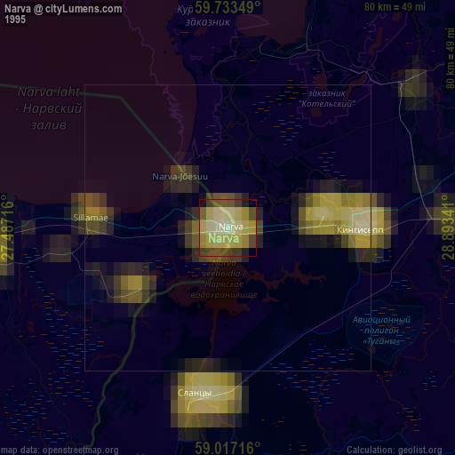
» NASA, Earths city lights 1995
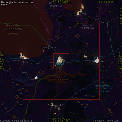
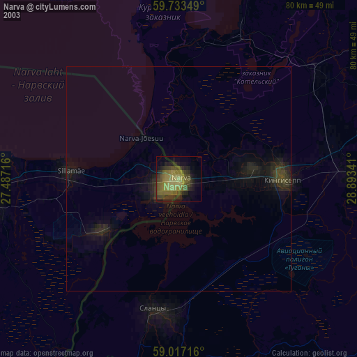
» NASA city lights 2003
» Earth at Night: Flat Maps 2012, 2016