Mamontovo night lights from space
Night Light of Mamontovo (Altai Krai) from space (Russia) Src. Average luminocity for 10x10km area is 0% and for 50x50km: 0.0096%.
Analysis of Mamontovo night lights 2016
Square area 10x10 km:
 0%
0%90-99
0%80-89
0%70-79
0%60-69
0%50-59
0%40-49
0%30-39
0%20-29
0%10-19
0%0-9
100%Square area 50x50 km:
0%90-99
0%80-89
0%70-79
0%60-69
0%50-59
0%40-49
0.01%30-39
0.01%20-29
0%10-19
0%0-9
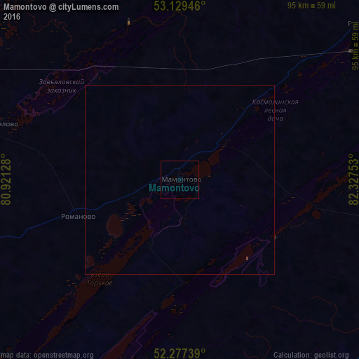
99.98%Clear (daylight) street map image can be seen on geolist.org.
Map coordinates:
53° 7' 46.1" North, 80° 55' 16.6" East
52° 42' 19.8" North, 81° 37' 27.8" East
52° 16' 38.6" North, 82° 19' 39.1" East
Some cities around Mamontovo sort by population:
• Aleysk
81.7 km =50.8 mi,  106°
106°
• Pospelikha
84.6 km =52.6 mi,  173°
173°
• Shipunovo
69.6 km =43.2 mi,  141°
141°
• Zav’yalovo
49.6 km =30.8 mi,  287°
287°
• Rebrikha
63.1 km =39.2 mi,  49°
49°
• Romanovo
28.5 km =17.7 mi,  250°
250°
• Tyumentsevo
69.1 km =42.9 mi,  352°
352°
• Pervomayskiy
23.7 km =14.7 mi,  6°
6°
1499428 (p: 9,275)
Sources (retrieved 2019-11-25):
» Earth at Night: Flat Maps 2012, 2016