Shimanovsk night lights from space
Night Light of Shimanovsk (Amur Oblast) from space (Russia) Src. Average luminocity for 10x10km area is 11.9481% and for 50x50km: 0.5215%.
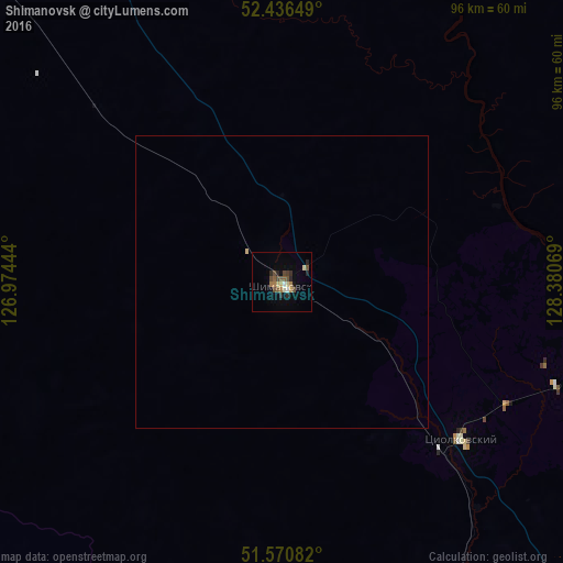

Analysis of Shimanovsk night lights 2016
Square area 10x10 km:
 0.52%
0.52%90-99
1.17%80-89
1.69%70-79
0.78%60-69
2.08%50-59
2.34%40-49
3.9%30-39
0.78%20-29
3.9%10-19
0.91%0-9
81.95%Square area 50x50 km:
0.02%90-99
0.05%80-89
0.09%70-79
0.03%60-69
0.08%50-59
0.1%40-49
0.16%30-39
0.03%20-29
0.16%10-19
0.04%0-9
99.24%Clear (daylight) street map image can be seen on geolist.org.
Map coordinates:
52° 26' 11.4" North, 126° 58' 28" East
52° 0' 20.7" North, 127° 40' 39.2" East
51° 34' 15" North, 128° 22' 50.5" East
Some cities around Shimanovsk sort by population:
• Blagoveshchensk
192.2 km =119.4 mi,  182°
182°
• Heihe, CN
196.3 km =122 mi, 183°
• Belogorsk
133.2 km =82.8 mi,  155°
155°
• Svobodnyy
77 km =47.8 mi, 155°
• Zeya
194.4 km =120.8 mi,  351°
351°
• Seryshevo
112.5 km =69.9 mi,  154°
154°
• Tsiolkovskiy
40.1 km =24.9 mi,  131°
131°
• Srednebelaya
151.6 km =94.2 mi,  171°
171°
2016701 (p: 21,466)
Sources (retrieved 2019-11-25):
» Earth at Night: Flat Maps 2012, 2016