Blagoveshchensk night lights from space
Night Light of Blagoveshchensk (Amur Oblast) from space (Russia) Src. Average luminocity for 10x10km area is 71.0682% and for 50x50km: 5.0522%.
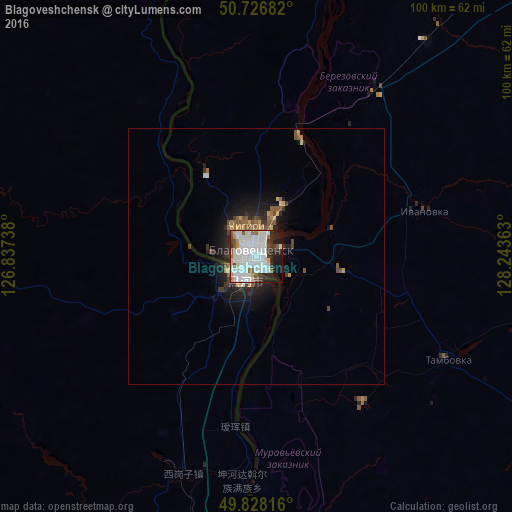
Analysis of Blagoveshchensk night lights 2016
Square area 10x10 km:
 32.62%
90-99
22.59%80-89
1.6%70-79
3.48%60-69
3.21%50-59
4.81%40-49
4.28%30-39
4.14%20-29
11.76%10-19
9.89%0-9
1.6%Square area 50x50 km:
1.36%90-99
0.99%80-89
0.24%70-79
0.42%60-69
0.42%50-59
0.78%40-49
0.51%30-39
0.64%20-29
1.5%10-19
3.06%0-9
90.08%Clear (daylight) street map image can be seen on geolist.org.
Map coordinates:
50° 43' 36.6" North, 126° 50' 14.6" East
50° 16' 46.6" North, 127° 32' 25.8" East
49° 49' 41.4" North, 128° 14' 37.1" East
Some cities around Blagoveshchensk sort by population:
• Heihe, CN
5.3 km =3.3 mi,  222°
222°
• Belogorsk
96.9 km =60.2 mi,  43°
43°
• Seryshevo
108.2 km =67.2 mi,  33°
33°
• Yekaterinoslavka
111.9 km =69.5 mi,  84°
84°
• Tambovka
41.9 km =26 mi,  118°
118°
• Poyarkovo
107.7 km =66.9 mi,  132°
132°
• Srednebelaya
53.6 km =33.3 mi, 38°
• Konstantinovka
80.2 km =49.8 mi,  156°
156°
2026609 (p: 221,296)
Sources (retrieved 2019-11-25):
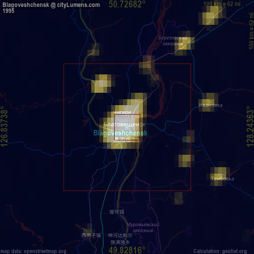
» NASA, Earths city lights 1995
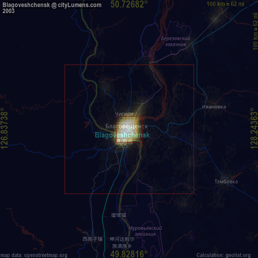
» NASA city lights 2003
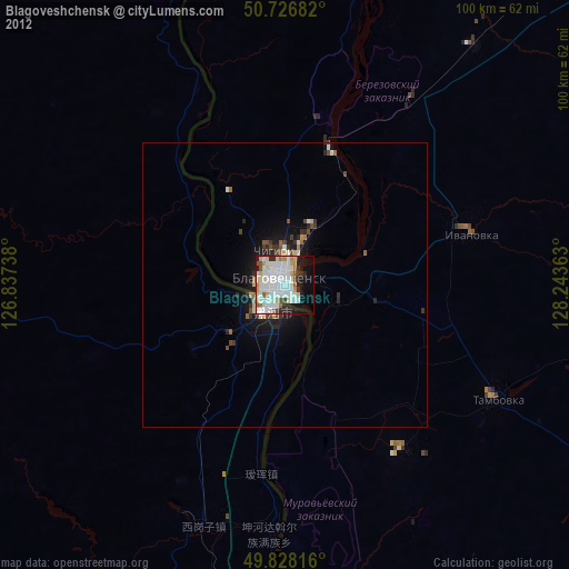
» Earth at Night: Flat Maps 2012, 2016