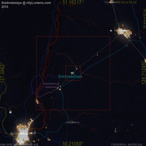
Srednebelaya night lights from space
Night Light of Srednebelaya (Amur Oblast) from space (Russia) Src. Average luminocity for 10x10km area is 1.8705% and for 50x50km: 0.2378%.
Analysis of Srednebelaya night lights 2016
Square area 10x10 km:
 0.28%
0.28%90-99
0.28%80-89
0%70-79
0.55%60-69
0%50-59
0.69%40-49
0.41%30-39
0%20-29
0.55%10-19
0%0-9
97.25%Square area 50x50 km:
0.01%90-99
0.02%80-89
0.01%70-79
0.04%60-69
0.08%50-59
0.05%40-49
0.06%30-39
0%20-29
0.04%10-19
0.11%0-9
99.56%Clear (daylight) street map image can be seen on geolist.org.
Map coordinates:
51° 6' 7.8" North, 127° 18' 22.3" East
50° 39' 30.7" North, 128° 0' 33.6" East
50° 12' 38.4" North, 128° 42' 44.8" East
Some cities around Srednebelaya sort by population:
• Blagoveshchensk
53.6 km =33.3 mi,  218°
218°
• Heihe, CN
58.9 km =36.6 mi, 218°
• Belogorsk
43.6 km =27.1 mi,  48°
48°
• Svobodnyy
80.2 km =49.8 mi,  6°
6°
• Seryshevo
55 km =34.2 mi,  28°
28°
• Yekaterinoslavka
84 km =52.2 mi,  112°
112°
• Tambovka
62.2 km =38.6 mi,  176°
176°
• Konstantinovka
115.6 km =71.8 mi, 180°
2016170 (p: 6,148)
Sources (retrieved 2019-11-25):
» Earth at Night: Flat Maps 2012, 2016