Shagonar night lights from space
Night Light of Shagonar (Republic of Tyva) from space (Russia) Src. Average luminocity for 10x10km area is 0.0013% and for 50x50km: 0.3787%.
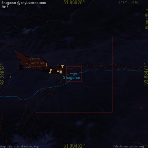
Analysis of Shagonar night lights 2016
Square area 10x10 km:
 0%
0%90-99
0%80-89
0%70-79
0%60-69
0%50-59
0%40-49
0%30-39
0%20-29
0%10-19
0%0-9
100%Square area 50x50 km:
0%90-99
0%80-89
0%70-79
0.4%60-69
0%50-59
0%40-49
0%30-39
0%20-29
0.01%10-19
0.01%0-9
99.57%Clear (daylight) street map image can be seen on geolist.org.
Map coordinates:
51° 58' 9.4" North, 92° 13' 42.7" East
51° 32' 2.4" North, 92° 55' 53.9" East
51° 5' 40.3" North, 93° 38' 5.2" East
Some cities around Shagonar sort by population:
• Kyzyl
106.9 km =66.4 mi,  79°
79°
• Ulaangom, MN
183.1 km =113.8 mi,  199°
199°
• Ak-Dovurak
166.5 km =103.5 mi,  256°
256°
• Kaa-Khem
125.5 km =78 mi, 82°
• Chadan
97.6 km =60.6 mi,  253°
253°
• Cherëmushki
179.6 km =111.6 mi,  324°
324°
• Turan
96 km =59.7 mi,  44°
44°
• Kyzyl-Mazhalyk
168.9 km =104.9 mi, 255°
1492499 (p: 11,415)
Sources (retrieved 2019-11-25):
» Earth at Night: Flat Maps 2012, 2016