Kyzyl night lights from space
Night Light of Kyzyl (Republic of Tyva) from space (Russia) Src. Average luminocity for 10x10km area is 32.0056% and for 50x50km: 1.7933%.
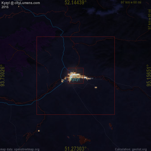
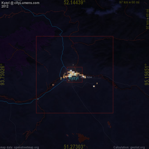
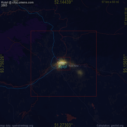
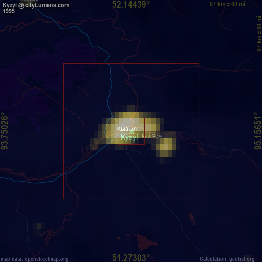
Analysis of Kyzyl night lights 2016
Square area 10x10 km:
 1.82%
1.82%90-99
3.5%80-89
4.76%70-79
6.86%60-69
9.66%50-59
5.46%40-49
1.54%30-39
1.26%20-29
1.54%10-19
43.14%0-9
20.45%Square area 50x50 km:
0.07%90-99
0.18%80-89
0.19%70-79
0.34%60-69
0.45%50-59
0.33%40-49
0.12%30-39
0.2%20-29
0.17%10-19
1.86%0-9
96.08%Clear (daylight) street map image can be seen on geolist.org.
Map coordinates:
52° 8' 39.8" North, 93° 45' 0.9" East
51° 42' 38.9" North, 94° 27' 12.2" East
51° 16' 22.9" North, 95° 9' 23.4" East
Some cities around Kyzyl sort by population:
• Shushenskoye
247.4 km =153.7 mi,  316°
316°
• Shagonar
106.9 km =66.4 mi,  259°
259°
• Kaa-Khem
19.5 km =12.1 mi,  98°
98°
• Chadan
204.3 km =126.9 mi, 256°
• Cherëmushki
242.6 km =150.7 mi,  301°
301°
• Yermakovskoye
222.7 km =138.4 mi, 321°
• Karatuzskoye
236.4 km =146.9 mi,  333°
333°
• Turan
60.6 km =37.7 mi, 322°
1500973 (p: 108,240)
Sources (retrieved 2019-11-25):
» NASA, Earths city lights 1995
» NASA city lights 2003
» Earth at Night: Flat Maps 2012, 2016