Ulaangom night lights from space
Night Light of Ulaangom (Uvs) from space (Mongolia) Src. Average luminocity for 10x10km area is 0.1485% and for 50x50km: 0.0059%.
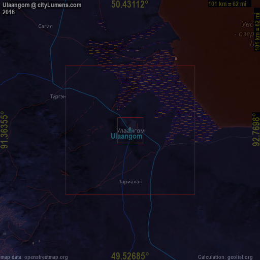
Analysis of Ulaangom night lights 2016
Square area 10x10 km:
 0%
0%90-99
0%80-89
0%70-79
0%60-69
0%50-59
0%40-49
0%30-39
0%20-29
0.56%10-19
0%0-9
99.44%Square area 50x50 km:
0%90-99
0%80-89
0%70-79
0%60-69
0%50-59
0%40-49
0%30-39
0%20-29
0.02%10-19
0%0-9
99.98%Clear (daylight) street map image can be seen on geolist.org.
Map coordinates:
50° 25' 52" North, 91° 21' 48.8" East
49° 58' 52" North, 92° 4' 0" East
49° 31' 36.7" North, 92° 46' 11.3" East
Some cities around Ulaangom sort by population:
• Kyzyl, RU
255.1 km =158.5 mi,  41°
41°
• Khovd
221.8 km =137.8 mi,  188°
188°
• Ölgii
189.2 km =117.6 mi,  233°
233°
• Ak-Dovurak, RU
169.1 km =105.1 mi,  322°
322°
• Shagonar, RU
183.1 km =113.8 mi,  19°
19°
• Chadan, RU
148.8 km =92.5 mi,  346°
346°
• Kosh-Agach, RU
242.4 km =150.6 mi,  270°
270°
• Kyzyl-Mazhalyk, RU
166.7 km =103.6 mi, 320°
1515029 (p: 28,085)
Sources (retrieved 2019-11-25):
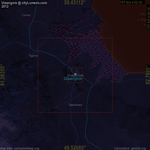
» Earth at Night: Flat Maps 2012, 2016