Cherëmushki night lights from space
Night Light of Cherëmushki (Khakasiya Republic) from space (Russia) Src. Average luminocity for 10x10km area is 4.4116% and for 50x50km: 0.5533%.
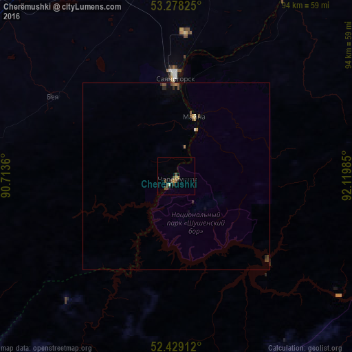
Analysis of Cherëmushki night lights 2016
Square area 10x10 km:
 0%
0%90-99
0.51%80-89
0%70-79
1.01%60-69
0.51%50-59
1.01%40-49
3.54%30-39
0%20-29
0%10-19
0.51%0-9
92.93%Square area 50x50 km:
0.01%90-99
0.03%80-89
0.04%70-79
0.09%60-69
0.05%50-59
0.14%40-49
0.31%30-39
0.05%20-29
0.09%10-19
0.07%0-9
99.11%Clear (daylight) street map image can be seen on geolist.org.
Map coordinates:
53° 16' 41.7" North, 90° 42' 49" East
52° 51' 20.7" North, 91° 25' 0.2" East
52° 25' 44.8" North, 92° 7' 11.5" East
Some cities around Cherëmushki sort by population:
• Sayanogorsk
25.8 km =16 mi,  357°
357°
• Shushenskoye
62.6 km =38.9 mi,  33°
33°
• Abaza
91.8 km =57 mi,  255°
255°
• Belyy Yar
83.2 km =51.7 mi, 358°
• Yermakovskoye
80.6 km =50.1 mi,  54°
54°
• Askiz
67 km =41.6 mi,  297°
297°
• Beya
40.2 km =25 mi, 303°
• Mayna
17.3 km =10.7 mi,  14°
14°
1508177 (p: 9,011)
Sources (retrieved 2019-11-25):
» Earth at Night: Flat Maps 2012, 2016