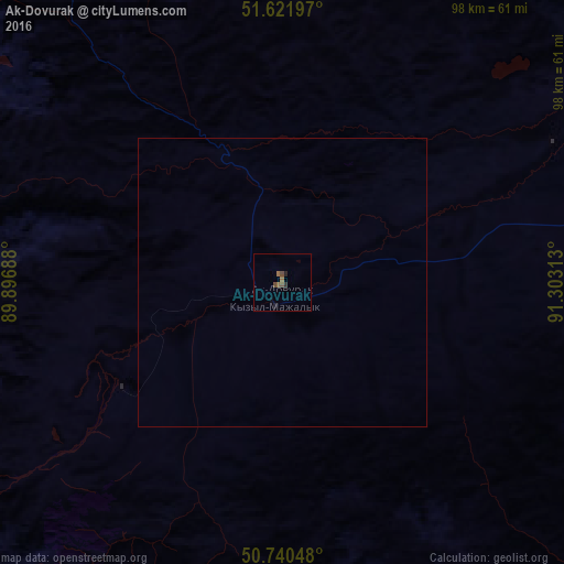
Ak-Dovurak night lights from space
Night Light of Ak-Dovurak (Republic of Tyva) from space (Russia) Src. Average luminocity for 10x10km area is 2.3757% and for 50x50km: 0.0957%.
Analysis of Ak-Dovurak night lights 2016
Square area 10x10 km:
 0%
0%90-99
0%80-89
0%70-79
0%60-69
1.34%50-59
0.8%40-49
1.07%30-39
0.53%20-29
0.94%10-19
0.13%0-9
95.19%Square area 50x50 km:
0%90-99
0%80-89
0%70-79
0%60-69
0.05%50-59
0.03%40-49
0.04%30-39
0.02%20-29
0.04%10-19
0.01%0-9
99.81%Clear (daylight) street map image can be seen on geolist.org.
Map coordinates:
51° 37' 19.1" North, 89° 53' 48.8" East
51° 10' 60" North, 90° 36' 0" East
50° 44' 25.7" North, 91° 18' 11.3" East
Some cities around Ak-Dovurak sort by population:
• Ulaangom, MN
169.1 km =105.1 mi,  142°
142°
• Abaza
167.3 km =104 mi,  348°
348°
• Shagonar
166.5 km =103.5 mi,  76°
76°
• Chadan
69.4 km =43.1 mi, 80°
• Cherëmushki
194.2 km =120.7 mi,  16°
16°
• Tashtyp
185.6 km =115.3 mi,  344°
344°
• Kosh-Agach
189.7 km =117.9 mi,  225°
225°
• Kyzyl-Mazhalyk
4.4 km =2.7 mi,  197°
197°
1512064 (p: 12,593)
Sources (retrieved 2019-11-25):
» Earth at Night: Flat Maps 2012, 2016