Turan night lights from space
Night Light of Turan (Republic of Tyva) from space (Russia) Src. Average luminocity for 10x10km area is 0.3135% and for 50x50km: 0.0126%.
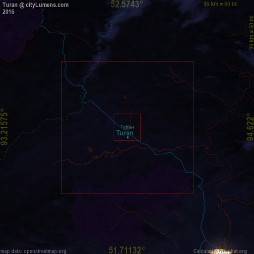
Analysis of Turan night lights 2016
Square area 10x10 km:
 0%
0%90-99
0%80-89
0%70-79
0%60-69
0%50-59
0.53%40-49
0%30-39
0%20-29
0%10-19
0%0-9
99.47%Square area 50x50 km:
0%90-99
0%80-89
0%70-79
0%60-69
0%50-59
0.02%40-49
0%30-39
0%20-29
0%10-19
0%0-9
99.98%Clear (daylight) street map image can be seen on geolist.org.
Map coordinates:
52° 34' 27.5" North, 93° 12' 56.7" East
52° 8' 41.6" North, 93° 55' 7.9" East
51° 42' 40.8" North, 94° 37' 19.2" East
Some cities around Turan sort by population:
• Kyzyl
60.6 km =37.7 mi,  142°
142°
• Shushenskoye
187.2 km =116.3 mi,  314°
314°
• Shagonar
96 km =59.7 mi,  224°
224°
• Kaa-Khem
75.9 km =47.2 mi,  132°
132°
• Chadan
187.2 km =116.3 mi,  239°
239°
• Cherëmushki
186.9 km =116.1 mi,  295°
295°
• Yermakovskoye
162.1 km =100.7 mi,  320°
320°
• Karatuzskoye
177.3 km =110.2 mi,  336°
336°
1488950 (p: 5,528)
Sources (retrieved 2019-11-25):
» Earth at Night: Flat Maps 2012, 2016