Saratov night lights from space
Night Light of Saratov (Saratovskaya Oblast) from space (Russia) Src. Average luminocity for 10x10km area is 83.5628% and for 50x50km: 13.8915%.
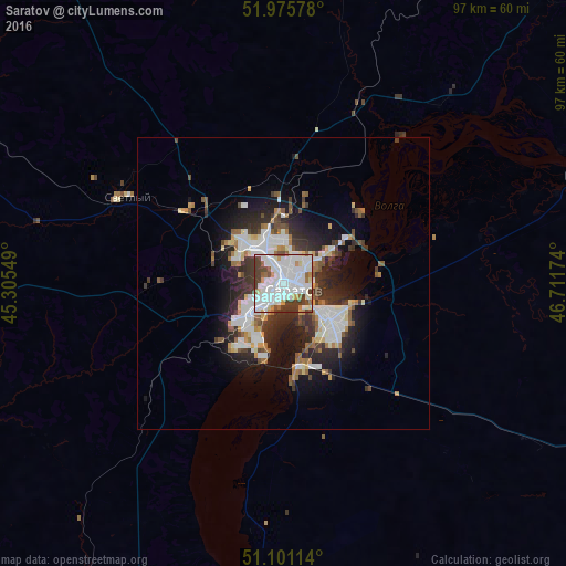
Analysis of Saratov night lights 2016
Square area 10x10 km:
 36.76%
90-99
29.55%80-89
3.21%70-79
4.41%60-69
5.61%50-59
3.07%40-49
10.03%30-39
7.35%20-29
0%10-19
0%0-9
0%Square area 50x50 km:
3.4%90-99
3.18%80-89
1%70-79
1.02%60-69
1.37%50-59
1.47%40-49
1.47%30-39
2.75%20-29
3.98%10-19
6.96%0-9
73.41%Clear (daylight) street map image can be seen on geolist.org.
Map coordinates:
51° 58' 32.8" North, 45° 18' 19.8" East
51° 32' 26" North, 46° 0' 31" East
51° 6' 4.1" North, 46° 42' 42.3" East
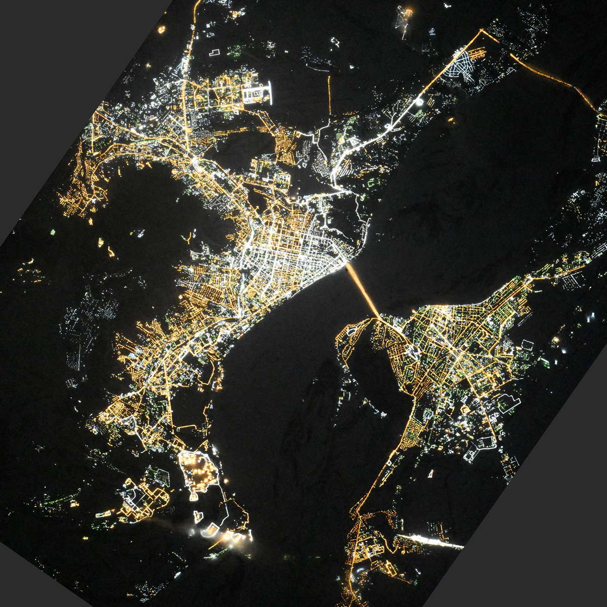
Fantastic image of Saratov from space taken by astronauts [src2], but I don't have information about it's orientation, scale or angle. If necessary, it was rotated manually, so North points approximately to upper direction. Click to zoom in:
Some cities around Saratov sort by population:
• Engel’s
9.2 km =5.7 mi,  133°
133°
• Marks
54.5 km =33.9 mi,  69°
69°
• Privolzhskiy
14.8 km =9.2 mi,  169°
169°
• Krasnoarmeysk
61.4 km =38.2 mi,  200°
200°
• Stepnoye
60.9 km =37.8 mi,  107°
107°
• Svetlyy
30 km =18.6 mi,  299°
299°
• Tatishchevo
32 km =19.9 mi, 296°
• Sokolovyy
12.5 km =7.8 mi,  284°
284°
498677 (p: 863,725)
Sources (retrieved 2019-11-25):
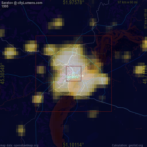
» NASA, Earths city lights 1995
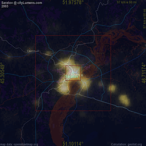
» NASA city lights 2003
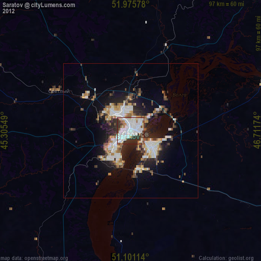
» Earth at Night: Flat Maps 2012, 2016
Src.2: picture by Oleg Kononenko, Roscosmos, retrieved 2019-11-29