Krasnoarmeysk night lights from space
Night Light of Krasnoarmeysk (Saratovskaya Oblast) from space (Russia) Src. Average luminocity for 10x10km area is 1.3195% and for 50x50km: 0.152%.
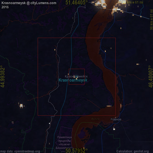
Analysis of Krasnoarmeysk night lights 2016
Square area 10x10 km:
 0%
0%90-99
0%80-89
0%70-79
0%60-69
0.53%50-59
0%40-49
1.07%30-39
0%20-29
0.8%10-19
1.34%0-9
96.26%Square area 50x50 km:
0%90-99
0%80-89
0%70-79
0.02%60-69
0.04%50-59
0.01%40-49
0.13%30-39
0.05%20-29
0.04%10-19
0.05%0-9
99.66%Clear (daylight) street map image can be seen on geolist.org.
Map coordinates:
51° 27' 50.6" North, 44° 59' 37.8" East
51° 1' 26" North, 45° 41' 49" East
50° 34' 46.3" North, 46° 24' 0.3" East
Some cities around Krasnoarmeysk sort by population:
• Saratov
61.4 km =38.2 mi,  20°
20°
• Engel’s
58.5 km =36.4 mi,  29°
29°
• Privolzhskiy
49.4 km =30.7 mi, 29°
• Zhirnovsk
64.8 km =40.3 mi,  266°
266°
• Svetlyy
72.4 km =45 mi,  356°
356°
• Tatishchevo
72.2 km =44.9 mi,  354°
354°
• Sokolovyy
61.3 km =38.1 mi,  8°
8°
• Rovnoye
37 km =23 mi,  137°
137°
542464 (p: 25,841)
Sources (retrieved 2019-11-25):
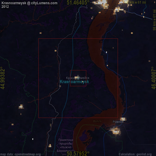
» Earth at Night: Flat Maps 2012, 2016