Engel’s night lights from space
Night Light of Engel’s (Saratovskaya Oblast) from space (Russia) Src. Average luminocity for 10x10km area is 61.1791% and for 50x50km: 13.8298%.
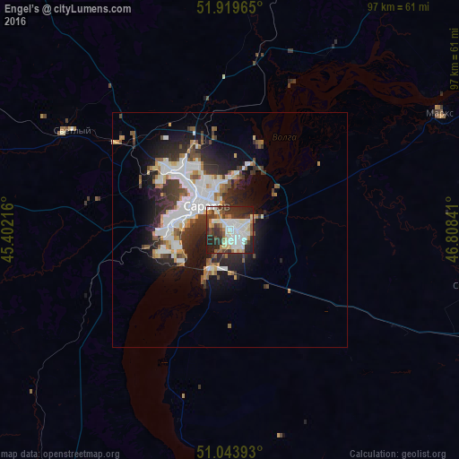
Analysis of Engel’s night lights 2016
Square area 10x10 km:
 15.51%
90-99
18.72%80-89
6.15%70-79
3.07%60-69
6.42%50-59
5.21%40-49
6.68%30-39
15.91%20-29
16.31%10-19
6.02%0-9
0%Square area 50x50 km:
3.4%90-99
3.18%80-89
1%70-79
1.02%60-69
1.39%50-59
1.46%40-49
1.44%30-39
2.66%20-29
3.98%10-19
6.91%0-9
73.56%Clear (daylight) street map image can be seen on geolist.org.
Map coordinates:
51° 55' 10.7" North, 45° 24' 7.8" East
51° 29' 2" North, 46° 6' 19" East
51° 2' 38.1" North, 46° 48' 30.3" East
Some cities around Engel’s sort by population:
• Saratov
9.2 km =5.7 mi,  313°
313°
• Marks
51.1 km =31.8 mi,  60°
60°
• Privolzhskiy
9.2 km =5.7 mi,  205°
205°
• Krasnoarmeysk
58.5 km =36.4 mi, 209°
• Stepnoye
52.9 km =32.9 mi,  102°
102°
• Svetlyy
39 km =24.2 mi,  302°
302°
• Tatishchevo
40.9 km =25.4 mi, 300°
• Sokolovyy
21.1 km =13.1 mi, 296°
563464 (p: 196,011)
Sources (retrieved 2019-11-25):
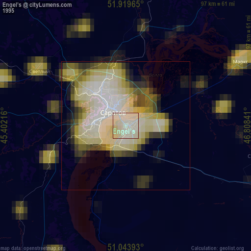
» NASA, Earths city lights 1995
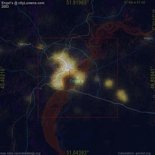
» NASA city lights 2003
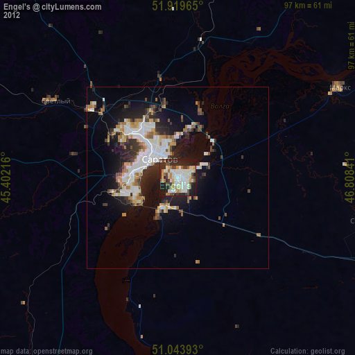
» Earth at Night: Flat Maps 2012, 2016