Samara night lights from space
Night Light of Samara (Samara Oblast) from space (Russia) Src. Average luminocity for 10x10km area is 73.721% and for 50x50km: 18.2149%.
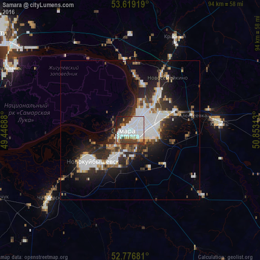
Analysis of Samara night lights 2016
Square area 10x10 km:
 37.75%
90-99
18.69%80-89
4.04%70-79
1.89%60-69
3.54%50-59
1.26%40-49
3.28%30-39
16.29%20-29
7.95%10-19
4.92%0-9
0.38%Square area 50x50 km:
5.22%90-99
3.96%80-89
0.97%70-79
1.19%60-69
1.88%50-59
1.62%40-49
1.55%30-39
2.92%20-29
6.02%10-19
9.16%0-9
65.52%Clear (daylight) street map image can be seen on geolist.org.
Map coordinates:
53° 37' 9.1" North, 49° 26' 48.8" East
53° 12' 0.3" North, 50° 9' 0" East
52° 46' 36.5" North, 50° 51' 11.3" East
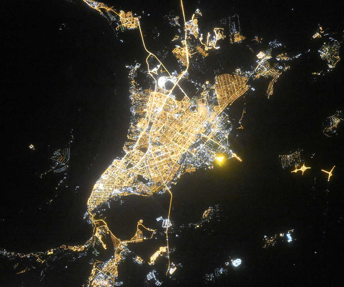
Fantastic image of Samara from space taken by astronauts [src2], but I don't have information about it's orientation, scale or angle. If necessary, it was rotated manually, so North points approximately to upper direction. Click to zoom in:
Some cities around Samara sort by population:
• Novokuybyshevsk
17.9 km =11.1 mi,  229°
229°
• Kinel’
32 km =19.9 mi,  84°
84°
• Roschinskiy
28.4 km =17.6 mi,  125°
125°
• Novosemeykino
23.3 km =14.5 mi,  35°
35°
• Volzhskiy
25.7 km =16 mi,  355°
355°
• Petra-Dubrava
17.9 km =11.1 mi,  53°
53°
• Smyshlyayevka
16.6 km =10.3 mi,  74°
74°
• Rozhdestveno
7.3 km =4.5 mi,  304°
304°
499099 (p: 1,134,730)
Sources (retrieved 2019-11-25):
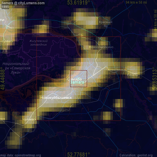
» NASA, Earths city lights 1995
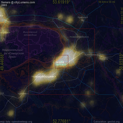
» NASA city lights 2003
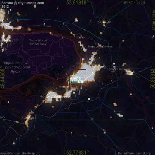
» Earth at Night: Flat Maps 2012, 2016
Src.2: picture by Oleg Kononenko, Roscosmos, retrieved 2019-11-29