Ryazan’ night lights from space
Night Light of Ryazan’ (Ryazan Oblast) from space (Russia) Src. Average luminocity for 10x10km area is 62.2218% and for 50x50km: 6.4649%.
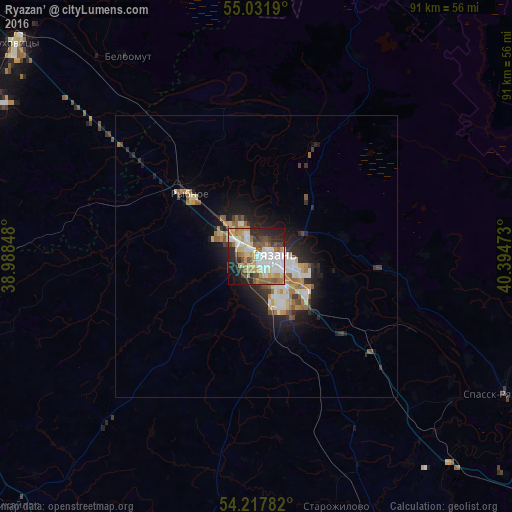
Analysis of Ryazan’ night lights 2016
Square area 10x10 km:
 17.17%
90-99
11.28%80-89
9.4%70-79
9.9%60-69
7.64%50-59
7.27%40-49
6.14%30-39
4.89%20-29
15.54%10-19
9.15%0-9
1.63%Square area 50x50 km:
1.12%90-99
1.13%80-89
0.82%70-79
0.78%60-69
0.97%50-59
0.76%40-49
0.63%30-39
0.63%20-29
2.02%10-19
3.88%0-9
87.25%Clear (daylight) street map image can be seen on geolist.org.
Map coordinates:
55° 1' 54.8" North, 38° 59' 18.5" East
54° 37' 36.8" North, 39° 41' 29.8" East
54° 13' 4.2" North, 40° 23' 41" East
Some cities around Ryazan’ sort by population:
• Lukhovitsy
56.9 km =35.4 mi,  313°
313°
• Zaraysk
54.3 km =33.7 mi,  285°
285°
• Rybnoye
15.9 km =9.9 mi,  315°
315°
• Mikhaylov
61.6 km =38.3 mi,  224°
224°
• Spassk-Ryazanskiy
50.7 km =31.5 mi,  119°
119°
• Beloomut
41.9 km =26 mi,  327°
327°
• Polyany
13.5 km =8.4 mi,  41°
41°
• Starozhilovo
46.9 km =29.1 mi,  161°
161°
500096 (p: 520,173)
Sources (retrieved 2019-11-25):
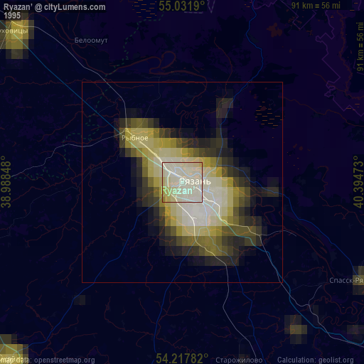
» NASA, Earths city lights 1995
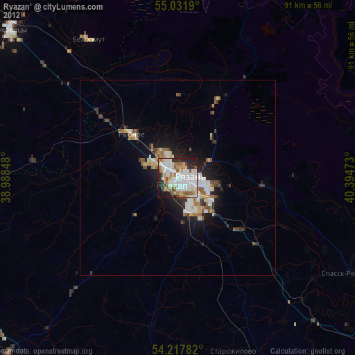
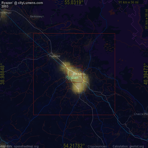
» NASA city lights 2003
» Earth at Night: Flat Maps 2012, 2016