Spassk-Ryazanskiy night lights from space
Night Light of Spassk-Ryazanskiy (Ryazan Oblast) from space (Russia) Src. Average luminocity for 10x10km area is 0.8002% and for 50x50km: 0.2657%.
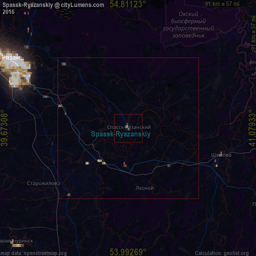
Analysis of Spassk-Ryazanskiy night lights 2016
Square area 10x10 km:
 0%
0%90-99
0%80-89
0%70-79
0%60-69
0%50-59
0.24%40-49
0.24%30-39
1.32%20-29
0.12%10-19
0%0-9
98.09%Square area 50x50 km:
0%90-99
0.02%80-89
0.03%70-79
0.02%60-69
0.02%50-59
0.06%40-49
0.1%30-39
0.14%20-29
0.07%10-19
0.04%0-9
99.47%Clear (daylight) street map image can be seen on geolist.org.
Map coordinates:
54° 48' 40.4" North, 39° 40' 23.1" East
54° 24' 14.4" North, 40° 22' 34.3" East
53° 59' 33.7" North, 41° 4' 45.6" East
Some cities around Spassk-Ryazanskiy sort by population:
• Ryazan’
50.7 km =31.5 mi,  299°
299°
• Novomichurinsk
57.6 km =35.8 mi,  225°
225°
• Rybnoye
66 km =41 mi, 303°
• Shilovo
33.6 km =20.9 mi,  106°
106°
• Korablino
59.1 km =36.7 mi,  203°
203°
• Lesnoy
22.2 km =13.8 mi,  163°
163°
• Polyany
49.6 km =30.8 mi,  314°
314°
• Starozhilovo
35.9 km =22.3 mi,  236°
236°
489741 (p: 8,655)
Sources (retrieved 2019-11-25):
» Earth at Night: Flat Maps 2012, 2016