Konstantinovskiy night lights from space
Night Light of Konstantinovskiy (Jaroslavl) from space (Russia) Src. Average luminocity for 10x10km area is 11.5591% and for 50x50km: 6.0846%.
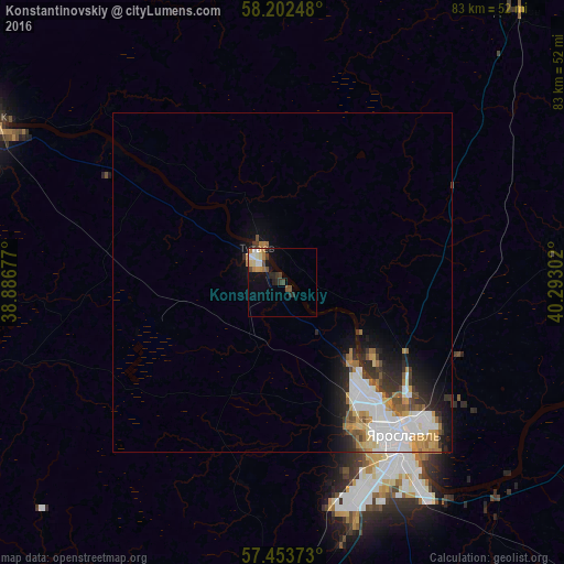
Analysis of Konstantinovskiy night lights 2016
Square area 10x10 km:
 1.7%
1.7%90-99
1.48%80-89
1.7%70-79
1.48%60-69
1.82%50-59
1.25%40-49
1.82%30-39
1.48%20-29
3.18%10-19
5.45%0-9
78.64%Square area 50x50 km:
1.71%90-99
1.25%80-89
0.51%70-79
0.65%60-69
0.79%50-59
0.59%40-49
0.49%30-39
0.77%20-29
1.38%10-19
2.36%0-9
89.5%Clear (daylight) street map image can be seen on geolist.org.
Map coordinates:
58° 12' 8.9" North, 38° 53' 12.4" East
57° 49' 48.2" North, 39° 35' 23.6" East
57° 27' 13.4" North, 40° 17' 34.9" East
Some cities around Konstantinovskiy sort by population:
• Yaroslavl
27.9 km =17.3 mi,  142°
142°
• Rybinsk
50.1 km =31.1 mi,  298°
298°
• Tutayev
6.8 km =4.2 mi,  334°
334°
• Gavrilov-Yam
60.8 km =37.8 mi,  165°
165°
• Danilov
52.8 km =32.8 mi,  40°
40°
• Semibratovo
58.5 km =36.4 mi,  183°
183°
• Nekrasovskoye
49.1 km =30.5 mi,  110°
110°
• Myshkin
67.4 km =41.9 mi,  266°
266°
545272 (p: 5,718)
Sources (retrieved 2019-11-25):
» Earth at Night: Flat Maps 2012, 2016