Rossosh’ night lights from space
Night Light of Rossosh’ (Voronezj) from space (Russia) Src. Average luminocity for 10x10km area is 0% and for 50x50km: 0.1037%.
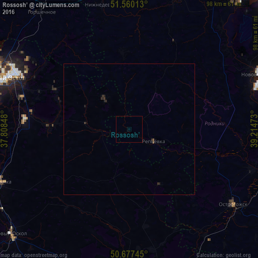
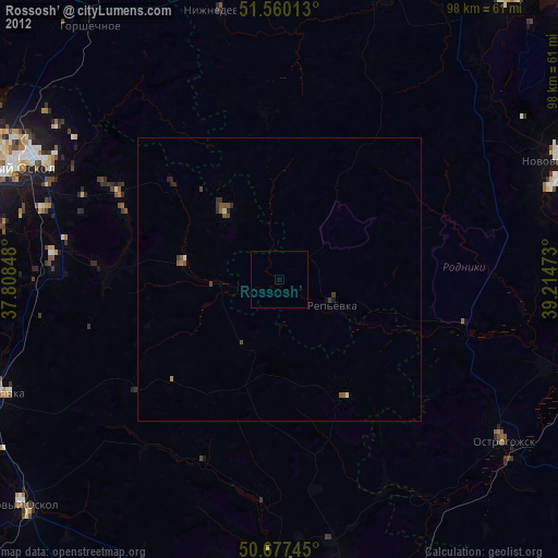
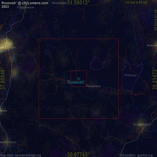
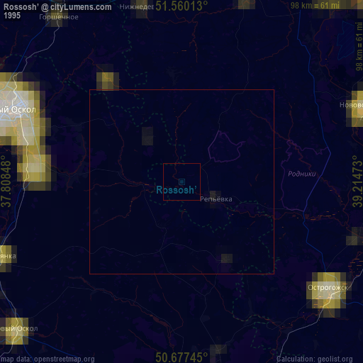
Analysis of Rossosh’ night lights 2016
Square area 10x10 km:
 0%
0%90-99
0%80-89
0%70-79
0%60-69
0%50-59
0%40-49
0%30-39
0%20-29
0%10-19
0%0-9
100%Square area 50x50 km:
0%90-99
0%80-89
0%70-79
0%60-69
0%50-59
0.03%40-49
0.02%30-39
0.1%20-29
0.15%10-19
0.04%0-9
99.67%Clear (daylight) street map image can be seen on geolist.org.
Map coordinates:
51° 33' 36.5" North, 37° 48' 30.5" East
51° 7' 15.2" North, 38° 30' 41.8" East
50° 40' 38.8" North, 39° 12' 53" East
Some cities around Rossosh’ sort by population:
• Staryy Oskol
50.6 km =31.4 mi,  292°
292°
• Novovoronezh
53.3 km =33.1 mi,  67°
67°
• Ostrogozhsk
48.6 km =30.2 mi,  125°
125°
• Chernyanka
53.2 km =33.1 mi,  247°
247°
• Krasnogvardeyskoye
53 km =32.9 mi,  188°
188°
• Nizhnedevitsk
47.9 km =29.8 mi,  347°
347°
• Kolodeznyy
52.4 km =32.6 mi,  63°
63°
• Uryv-Pokrovka
45.5 km =28.3 mi,  90°
90°
501215 (p: 64,323)
Sources (retrieved 2019-11-25):
» NASA, Earths city lights 1995
» NASA city lights 2003
» Earth at Night: Flat Maps 2012, 2016