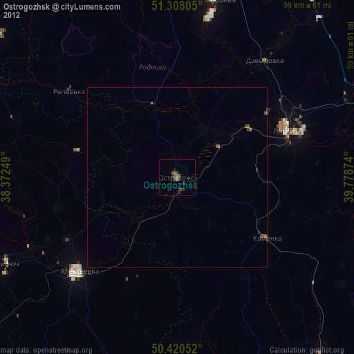
Ostrogozhsk night lights from space
Night Light of Ostrogozhsk (Voronezj) from space (Russia) Src. Average luminocity for 10x10km area is 3.1387% and for 50x50km: 0.1847%.
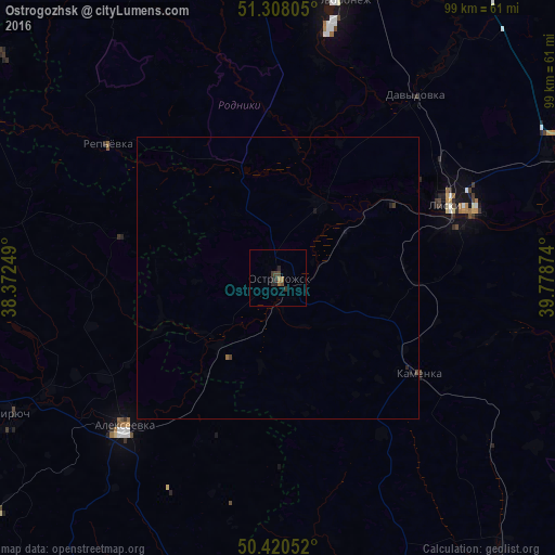
Analysis of Ostrogozhsk night lights 2016
Square area 10x10 km:
 0%
0%90-99
0%80-89
0%70-79
0%60-69
1.26%50-59
0.42%40-49
1.68%30-39
1.54%20-29
2.24%10-19
0.14%0-9
92.72%Square area 50x50 km:
0%90-99
0%80-89
0%70-79
0%60-69
0.07%50-59
0.02%40-49
0.11%30-39
0.08%20-29
0.13%10-19
0.05%0-9
99.54%Clear (daylight) street map image can be seen on geolist.org.
Map coordinates:
51° 18' 29" North, 38° 22' 21" East
50° 51' 59" North, 39° 4' 32.2" East
50° 25' 13.9" North, 39° 46' 43.5" East
Some cities around Ostrogozhsk sort by population:
• Rossosh’
48.6 km =30.2 mi,  305°
305°
• Liski
33.5 km =20.8 mi,  67°
67°
• Alekseyevka
37.7 km =23.4 mi,  225°
225°
• Novovoronezh
50 km =31.1 mi,  11°
11°
• Kamenka
29.6 km =18.4 mi,  124°
124°
• Kolodeznyy
52.5 km =32.6 mi, 8°
• Davydovka
40.8 km =25.4 mi,  37°
37°
• Uryv-Pokrovka
28.4 km =17.6 mi, 12°
514198 (p: 34,403)
Sources (retrieved 2019-11-25):
» Earth at Night: Flat Maps 2012, 2016