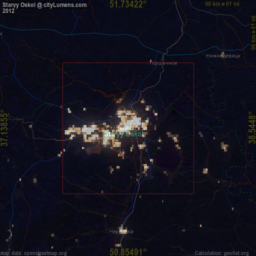
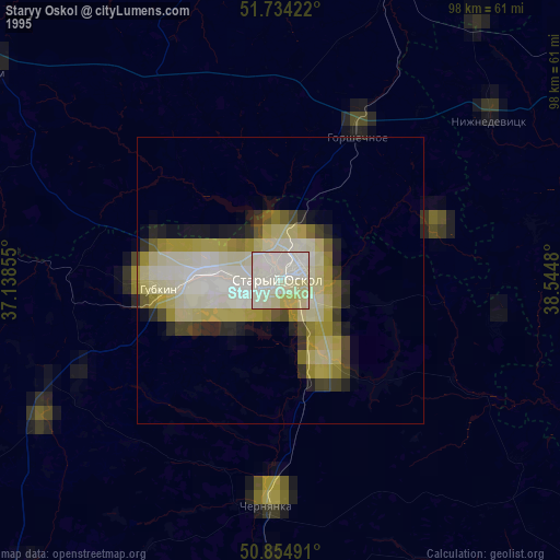
Staryy Oskol night lights from space
Night Light of Staryy Oskol (Belgorod Oblast) from space (Russia) Src. Average luminocity for 10x10km area is 50.937% and for 50x50km: 6.5518%.
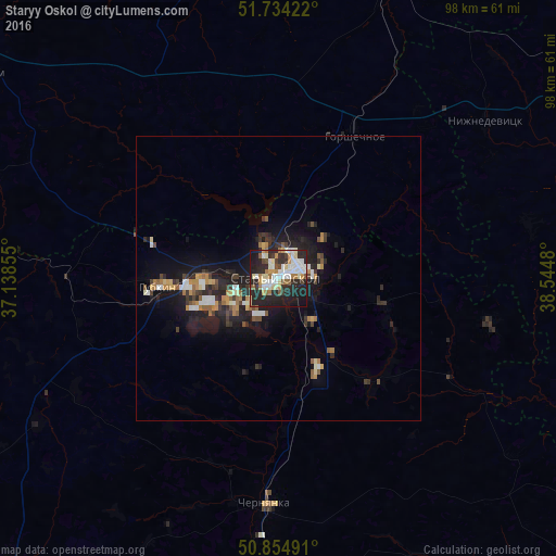

Analysis of Staryy Oskol night lights 2016
Square area 10x10 km:
 10.92%
90-99
14.15%80-89
4.62%70-79
5.74%60-69
5.74%50-59
3.22%40-49
4.06%30-39
4.48%20-29
28.85%10-19
17.51%0-9
0.7%Square area 50x50 km:
0.87%90-99
1.04%80-89
0.51%70-79
0.67%60-69
1.02%50-59
0.64%40-49
0.67%30-39
1.1%20-29
2.7%10-19
6.01%0-9
84.76%Clear (daylight) street map image can be seen on geolist.org.
Map coordinates:
51° 44' 3.2" North, 37° 8' 18.8" East
51° 17' 48" North, 37° 50' 30" East
50° 51' 17.7" North, 38° 32' 41.3" East
Some cities around Staryy Oskol sort by population:
• Gubkin
20.6 km =12.8 mi,  265°
265°
• Rossosh’
50.6 km =31.4 mi,  112°
112°
• Novyy Oskol
59.3 km =36.8 mi,  178°
178°
• Chernyanka
39.6 km =24.6 mi, 183°
• Gorshechnoye
28.7 km =17.8 mi,  28°
28°
• Kshenskiy
61.1 km =38 mi,  351°
351°
• Nizhnedevitsk
45.4 km =28.2 mi,  53°
53°
• Troitskiy
23 km =14.3 mi,  287°
287°
487928 (p: 226,977)
Sources (retrieved 2019-11-25):
» NASA, Earths city lights 1995
» NASA city lights 2003
» Earth at Night: Flat Maps 2012, 2016