Nelidovo night lights from space
Night Light of Nelidovo (Tver’ Oblast) from space (Russia) Src. Average luminocity for 10x10km area is 2.5323% and for 50x50km: 0.1011%.

Analysis of Nelidovo night lights 2016
Square area 10x10 km:
 0%
0%90-99
0%80-89
0%70-79
0.72%60-69
0.72%50-59
0.48%40-49
1.44%30-39
0.48%20-29
0%10-19
1.44%0-9
94.74%Square area 50x50 km:
0%90-99
0%80-89
0%70-79
0.03%60-69
0.03%50-59
0.02%40-49
0.06%30-39
0.02%20-29
0%10-19
0.06%0-9
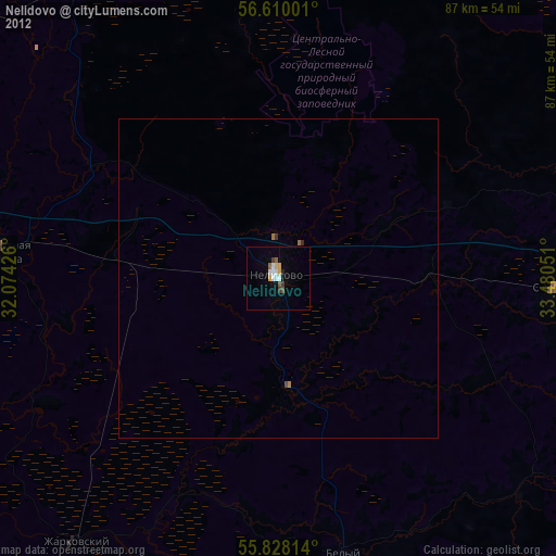
99.79%Clear (daylight) street map image can be seen on geolist.org.
Map coordinates:
56° 36' 36" North, 32° 4' 27.3" East
56° 13' 15.9" North, 32° 46' 38.6" East
55° 49' 41.3" North, 33° 28' 49.8" East
Some cities around Nelidovo sort by population:
• Rzhev
95.9 km =59.6 mi,  87°
87°
• Toropets
76.8 km =47.7 mi,  293°
293°
• Zapadnaya Dvina
43.6 km =27.1 mi,  275°
275°
• Andreapol’
57.2 km =35.5 mi,  326°
326°
• Selizharovo
81.3 km =50.5 mi,  30°
30°
• Ozërnyy
74.8 km =46.5 mi,  197°
197°
• Peno
78.4 km =48.7 mi,  358°
358°
• Olenino
44 km =27.3 mi, 91°
522775 (p: 25,349)
Sources (retrieved 2019-11-25):
» Earth at Night: Flat Maps 2012, 2016