Uray night lights from space
Night Light of Uray (Khanty-Mansia) from space (Russia) Src. Average luminocity for 10x10km area is 21.7789% and for 50x50km: 1.3676%.
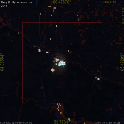
Analysis of Uray night lights 2016
Square area 10x10 km:
 6.71%
6.71%90-99
5.79%80-89
0.31%70-79
0.1%60-69
0.1%50-59
0.31%40-49
2.38%30-39
4.24%20-29
1.03%10-19
30.58%0-9
48.45%Square area 50x50 km:
0.36%90-99
0.33%80-89
0.02%70-79
0.04%60-69
0.06%50-59
0.04%40-49
0.18%30-39
0.26%20-29
0.09%10-19
1.26%0-9
97.35%Clear (daylight) street map image can be seen on geolist.org.
Map coordinates:
60° 28' 43.5" North, 64° 5' 9" East
60° 7' 49.6" North, 64° 47' 20.3" East
59° 46' 42.2" North, 65° 29' 31.5" East
Some cities around Uray sort by population:
• Nyagan
225.8 km =140.3 mi,  8°
8°
• Tavda
233.8 km =145.3 mi,  173°
173°
• Yugorsk
153.5 km =95.4 mi,  328°
328°
• Sovetskiy
151.7 km =94.3 mi, 334°
• Mezhdurechenskiy
86.9 km =54 mi,  132°
132°
• Sos’va
195.9 km =121.7 mi,  237°
237°
• Vostochnyy
223.9 km =139.1 mi,  228°
228°
• Pionerskiy
157.9 km =98.1 mi,  318°
318°
1488429 (p: 39,878)
Sources (retrieved 2019-11-25):
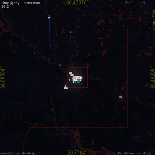
» Earth at Night: Flat Maps 2012, 2016