Nizhniy Ingash night lights from space
Night Light of Nizhniy Ingash (Krasnoyarskiy) from space (Russia) Src. Average luminocity for 10x10km area is 2.201% and for 50x50km: 0.2958%.
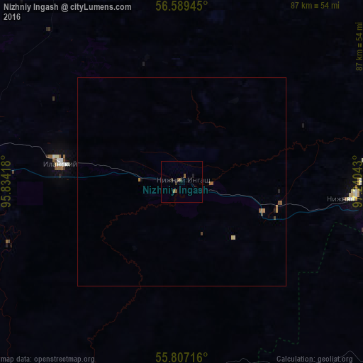
Analysis of Nizhniy Ingash night lights 2016
Square area 10x10 km:
 0%
0%90-99
0%80-89
0%70-79
0%60-69
0.6%50-59
1.79%40-49
0%30-39
0.96%20-29
0.48%10-19
0%0-9
96.17%Square area 50x50 km:
0%90-99
0%80-89
0.04%70-79
0.07%60-69
0.08%50-59
0.12%40-49
0.07%30-39
0.05%20-29
0.04%10-19
0.04%0-9
99.5%Clear (daylight) street map image can be seen on geolist.org.
Map coordinates:
56° 35' 22" North, 95° 50' 3" East
56° 12' 1.1" North, 96° 32' 14.3" East
55° 48' 25.8" North, 97° 14' 25.5" East
Some cities around Nizhniy Ingash sort by population:
• Kansk
50.7 km =31.5 mi,  270°
270°
• Tayshet
95.7 km =59.5 mi,  108°
108°
• Borodino
106.3 km =66.1 mi,  252°
252°
• Ilanskiy
29.4 km =18.3 mi,  276°
276°
• Aban
60.6 km =37.7 mi,  331°
331°
• Biryusinsk
84 km =52.2 mi, 108°
• Dzerzhinskoye
106.9 km =66.4 mi,  311°
311°
• Yurty
70 km =43.5 mi,  103°
103°
1497497 (p: 8,458)
Sources (retrieved 2019-11-25):
» Earth at Night: Flat Maps 2012, 2016