Tayshet night lights from space
Night Light of Tayshet (Irkutsk Oblast) from space (Russia) Src. Average luminocity for 10x10km area is 30.6228% and for 50x50km: 2.1604%.
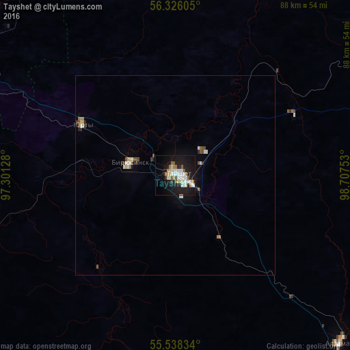
Analysis of Tayshet night lights 2016
Square area 10x10 km:
 7.27%
7.27%90-99
7.39%80-89
4.01%70-79
0.63%60-69
2.51%50-59
4.01%40-49
0.88%30-39
0.88%20-29
5.26%10-19
37.97%0-9
29.2%Square area 50x50 km:
0.4%90-99
0.43%80-89
0.26%70-79
0.04%60-69
0.21%50-59
0.33%40-49
0.18%30-39
0.15%20-29
0.3%10-19
1.81%0-9
95.88%Clear (daylight) street map image can be seen on geolist.org.
Map coordinates:
56° 19' 33.8" North, 97° 18' 4.6" East
55° 56' 3.1" North, 98° 0' 15.8" East
55° 32' 18" North, 98° 42' 27.1" East
Some cities around Tayshet sort by population:
• Ilanskiy
124.8 km =77.5 mi,  285°
285°
• Chunskiy
102.6 km =63.8 mi,  80°
80°
• Biryusinsk
11.7 km =7.3 mi, 286°
• Nizhnyaya Poyma
55.8 km =34.7 mi,  297°
297°
• Nizhniy Ingash
95.7 km =59.5 mi, 288°
• Alzamay
58.9 km =36.6 mi,  135°
135°
• Yurty
26.3 km =16.3 mi, 299°
• Lesogorsk
94.7 km =58.8 mi, 82°
1489870 (p: 37,766)
Sources (retrieved 2019-11-25):
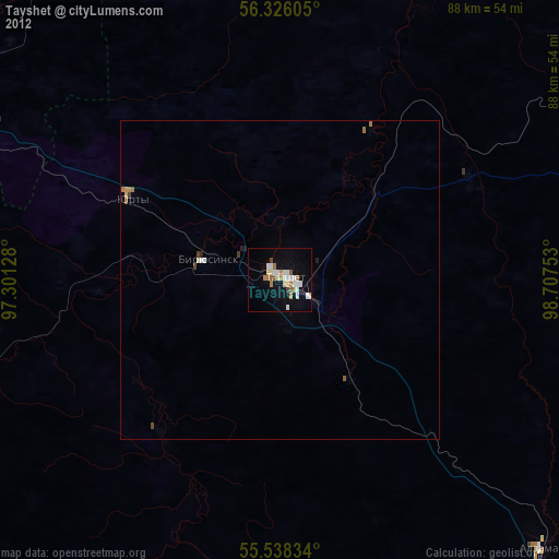
» Earth at Night: Flat Maps 2012, 2016