Neftekamsk night lights from space
Night Light of Neftekamsk (Bashkortostan Republic) from space (Russia) Src. Average luminocity for 10x10km area is 36.1352% and for 50x50km: 2.4829%.
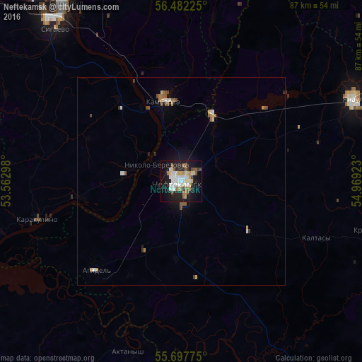
Analysis of Neftekamsk night lights 2016
Square area 10x10 km:
 7.18%
7.18%90-99
8.85%80-89
4.07%70-79
2.15%60-69
5.62%50-59
4.55%40-49
1.56%30-39
0.96%20-29
8.73%10-19
33.13%0-9
23.21%Square area 50x50 km:
0.38%90-99
0.45%80-89
0.25%70-79
0.19%60-69
0.42%50-59
0.45%40-49
0.22%30-39
0.13%20-29
0.42%10-19
1.69%0-9
95.38%Clear (daylight) street map image can be seen on geolist.org.
Map coordinates:
56° 28' 56.1" North, 53° 33' 46.7" East
56° 5' 31.2" North, 54° 15' 58" East
55° 41' 51.9" North, 54° 58' 9.2" East
Some cities around Neftekamsk sort by population:
• Yanaul
46.1 km =28.6 mi,  63°
63°
• Agidel’
29 km =18 mi,  225°
225°
• Kambarka
19.8 km =12.3 mi,  349°
349°
• Aktanysh
42.7 km =26.5 mi,  195°
195°
• Krasnokholmskiy
49.9 km =31 mi,  103°
103°
• Nikolo-Berëzovka
7.7 km =4.8 mi,  297°
297°
• Sigayevo
47.5 km =29.5 mi,  320°
320°
• Karakulino
35.9 km =22.3 mi,  255°
255°
522942 (p: 126,805)
Sources (retrieved 2019-11-25):
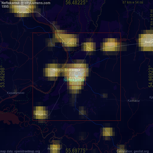
» NASA, Earths city lights 1995
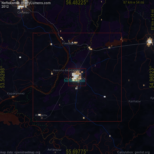
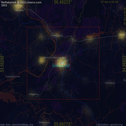
» NASA city lights 2003
» Earth at Night: Flat Maps 2012, 2016