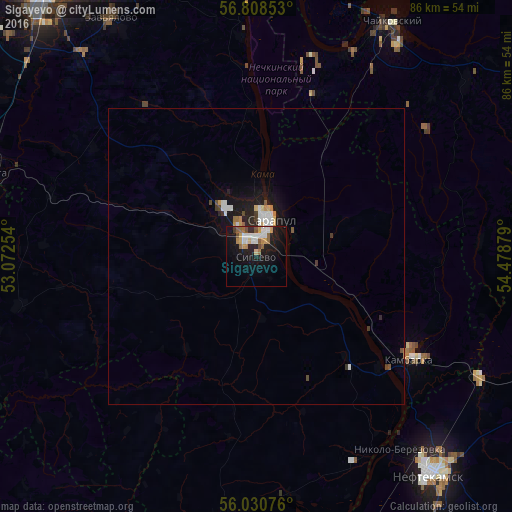
Sigayevo night lights from space
Night Light of Sigayevo (Udmurtiya Republic) from space (Russia) Src. Average luminocity for 10x10km area is 20.6976% and for 50x50km: 2.0198%.
Analysis of Sigayevo night lights 2016
Square area 10x10 km:
 4.17%
4.17%90-99
2.98%80-89
2.02%70-79
2.38%60-69
2.62%50-59
2.74%40-49
1.79%30-39
0.36%20-29
3.81%10-19
24.76%0-9
52.38%Square area 50x50 km:
0.38%90-99
0.35%80-89
0.17%70-79
0.22%60-69
0.2%50-59
0.18%40-49
0.21%30-39
0.15%20-29
0.46%10-19
2.1%0-9
95.59%Clear (daylight) street map image can be seen on geolist.org.
Map coordinates:
56° 48' 30.7" North, 53° 4' 21.1" East
56° 25' 17.9" North, 53° 46' 32.4" East
56° 1' 50.7" North, 54° 28' 43.6" East
Some cities around Sigayevo sort by population:
• Neftekamsk
47.5 km =29.5 mi,  140°
140°
• Sarapul
6.2 km =3.9 mi,  12°
12°
• Chaykovskiy
43.8 km =27.2 mi,  28°
28°
• Agryz
49.2 km =30.6 mi,  282°
282°
• Kambarka
31.6 km =19.6 mi,  123°
123°
• Malaya Purga
49.7 km =30.9 mi,  287°
287°
• Nikolo-Berëzovka
40.5 km =25.2 mi, 144°
• Karakulino
45.7 km =28.4 mi,  185°
185°
493040 (p: 5,780)
Sources (retrieved 2019-11-25):
» Earth at Night: Flat Maps 2012, 2016