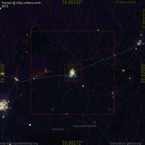
Yanaul night lights from space
Night Light of Yanaul (Bashkortostan Republic) from space (Russia) Src. Average luminocity for 10x10km area is 19.391% and for 50x50km: 0.9485%.
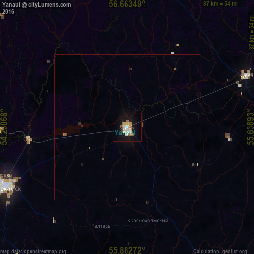
Analysis of Yanaul night lights 2016
Square area 10x10 km:
 1.75%
1.75%90-99
5.26%80-89
2.63%70-79
2.38%60-69
3.38%50-59
2.13%40-49
0.5%30-39
0%20-29
0%10-19
22.56%0-9
59.4%Square area 50x50 km:
0.08%90-99
0.21%80-89
0.1%70-79
0.12%60-69
0.14%50-59
0.12%40-49
0.11%30-39
0.03%20-29
0.06%10-19
0.92%0-9
98.11%Clear (daylight) street map image can be seen on geolist.org.
Map coordinates:
56° 39' 48.6" North, 54° 13' 50.4" East
56° 16' 30.4" North, 54° 56' 1.7" East
55° 52' 57.8" North, 55° 38' 12.9" East
Some cities around Yanaul sort by population:
• Neftekamsk
46.1 km =28.6 mi,  243°
243°
• Kambarka
45 km =28 mi,  268°
268°
• Kuyeda
43.9 km =27.3 mi,  66°
66°
• Burayevo
56.6 km =35.2 mi,  148°
148°
• Krasnokholmskiy
32.8 km =20.4 mi,  167°
167°
• Verkhniye Tatyshly
57 km =35.4 mi,  88°
88°
• Nikolo-Berëzovka
51 km =31.7 mi,  250°
250°
• Starobaltachevo
68.7 km =42.7 mi,  116°
116°
469178 (p: 27,963)
Sources (retrieved 2019-11-25):
» Earth at Night: Flat Maps 2012, 2016