Kambarka night lights from space
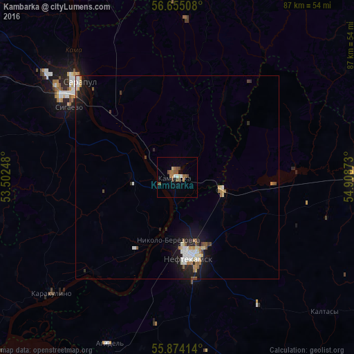
Night Light of Kambarka (Udmurtiya Republic) from space (Russia) Src. Average luminocity for 10x10km area is 9.8684% and for 50x50km: 2.6478%.
Analysis of Kambarka night lights 2016
Square area 10x10 km:
 0.63%
0.63%90-99
0.88%80-89
1%70-79
0.5%60-69
3.01%50-59
3.26%40-49
2.76%30-39
0%20-29
0%10-19
0.13%0-9
87.84%Square area 50x50 km:
0.43%90-99
0.49%80-89
0.26%70-79
0.19%60-69
0.4%50-59
0.47%40-49
0.22%30-39
0.16%20-29
0.46%10-19
2.1%0-9
94.82%Clear (daylight) street map image can be seen on geolist.org.
Map coordinates:
56° 39' 18.3" North, 53° 30' 8.9" East
56° 15' 59.8" North, 54° 12' 20.2" East
55° 52' 26.9" North, 54° 54' 31.4" East
Some cities around Kambarka sort by population:
• Neftekamsk
19.8 km =12.3 mi,  169°
169°
• Sarapul
34.3 km =21.3 mi,  312°
312°
• Chaykovskiy
56.1 km =34.9 mi,  354°
354°
• Yanaul
45 km =28 mi,  88°
88°
• Agidel’
43.3 km =26.9 mi,  202°
202°
• Nikolo-Berëzovka
16.1 km =10 mi,  191°
191°
• Sigayevo
31.6 km =19.6 mi,  303°
303°
• Karakulino
41.9 km =26 mi,  227°
227°
553835 (p: 12,464)
Sources (retrieved 2019-11-25):
» Earth at Night: Flat Maps 2012, 2016