Pavlovsk night lights from space
Night Light of Pavlovsk (Altai Krai) from space (Russia) Src. Average luminocity for 10x10km area is 0.7614% and for 50x50km: 0.094%.
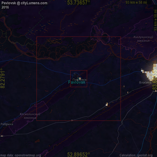
Analysis of Pavlovsk night lights 2016
Square area 10x10 km:
 0%
0%90-99
0%80-89
0%70-79
0%60-69
0%50-59
1.01%40-49
0%30-39
0%20-29
0%10-19
1.01%0-9
97.98%Square area 50x50 km:
0.02%90-99
0.01%80-89
0%70-79
0.04%60-69
0%50-59
0.04%40-49
0%30-39
0%20-29
0.01%10-19
0.06%0-9
99.83%Clear (daylight) street map image can be seen on geolist.org.
Map coordinates:
53° 44' 11.7" North, 82° 16' 44.8" East
53° 19' 7" North, 82° 58' 56" East
52° 53' 47.5" North, 83° 41' 7.3" East
Some cities around Pavlovsk sort by population:
• Barnaul
52.1 km =32.4 mi,  84°
84°
• Yuzhnyy
47.8 km =29.7 mi,  98°
98°
• Novosilikatnyy
42.6 km =26.5 mi,  91°
91°
• Sibirskiy
58.9 km =36.6 mi,  60°
60°
• Beloyarsk
62.8 km =39 mi, 76°
• Topchikha
56.3 km =35 mi,  170°
170°
• Rebrikha
50.7 km =31.5 mi,  237°
237°
• Borovikha
60.5 km =37.6 mi,  69°
69°
1495448 (p: 14,827)
Sources (retrieved 2019-11-25):
» Earth at Night: Flat Maps 2012, 2016