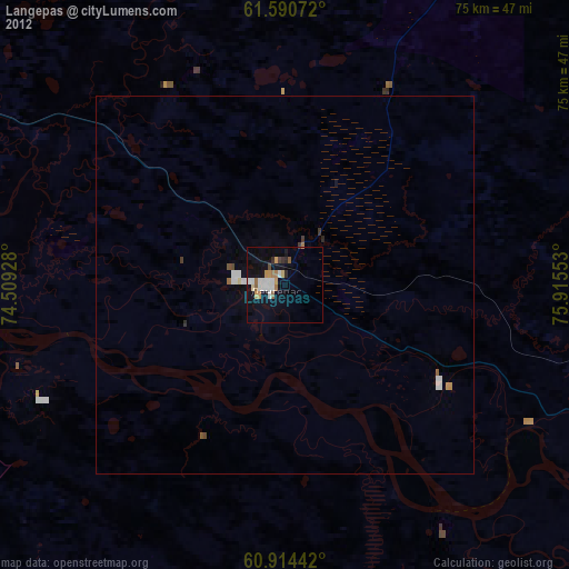
Langepas night lights from space
Night Light of Langepas (Khanty-Mansia) from space (Russia) Src. Average luminocity for 10x10km area is 29.7686% and for 50x50km: 3.9632%.
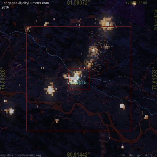
Analysis of Langepas night lights 2016
Square area 10x10 km:
 4.75%
4.75%90-99
6.4%80-89
1.45%70-79
4.34%60-69
5.48%50-59
1.96%40-49
1.24%30-39
2.89%20-29
11.88%10-19
27.69%0-9
31.92%Square area 50x50 km:
0.4%90-99
0.43%80-89
0.28%70-79
0.4%60-69
0.58%50-59
0.49%40-49
0.69%30-39
0.87%20-29
1.17%10-19
3.59%0-9
91.09%Clear (daylight) street map image can be seen on geolist.org.
Map coordinates:
61° 35' 26.6" North, 74° 30' 33.4" East
61° 15' 15.8" North, 75° 12' 44.6" East
60° 54' 51.9" North, 75° 54' 55.9" East
Some cities around Langepas sort by population:
• Surgut
96 km =59.7 mi,  269°
269°
• Nizhnevartovsk
80.4 km =50 mi,  116°
116°
• Megion
54.4 km =33.8 mi, 117°
• Poykovskiy
100.5 km =62.4 mi, 268°
• Fedorovskiy
88.8 km =55.2 mi,  296°
296°
• Izluchinsk
96.9 km =60.2 mi,  108°
108°
• Pokachi
52.4 km =32.6 mi,  9°
9°
• Barsovo
108.2 km =67.2 mi, 269°
6696767 (p: 40,000)
Sources (retrieved 2019-11-25):
» Earth at Night: Flat Maps 2012, 2016