Kostroma night lights from space
Night Light of Kostroma (Kostroma Oblast) from space (Russia) Src. Average luminocity for 10x10km area is 64.0727% and for 50x50km: 3.8262%.
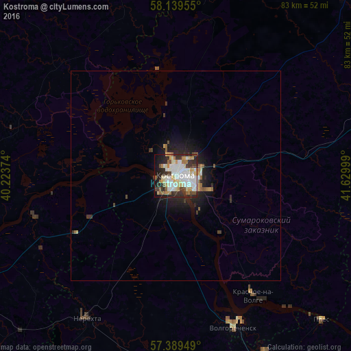
Analysis of Kostroma night lights 2016
Square area 10x10 km:
 17.16%
90-99
19.2%80-89
9.32%70-79
6.25%60-69
6.25%50-59
3.07%40-49
4.55%30-39
9.43%20-29
13.18%10-19
9.77%0-9
1.82%Square area 50x50 km:
0.75%90-99
0.84%80-89
0.41%70-79
0.4%60-69
0.36%50-59
0.33%40-49
0.33%30-39
0.61%20-29
1.22%10-19
2.39%0-9
92.36%Clear (daylight) street map image can be seen on geolist.org.
Map coordinates:
58° 8' 22.4" North, 40° 13' 25.5" East
57° 45' 59.3" North, 40° 55' 36.7" East
57° 23' 22.2" North, 41° 37' 48" East
Some cities around Kostroma sort by population:
• Yaroslavl
64.4 km =40 mi,  256°
256°
• Furmanov
58 km =36 mi,  169°
169°
• Nerekhta
40.1 km =24.9 mi,  211°
211°
• Privolzhsk
47.3 km =29.4 mi,  153°
153°
• Volgorechensk
38.8 km =24.1 mi,  159°
159°
• Krasnoye-na-Volge
33.6 km =20.9 mi, 146°
• Nekrasovskoye
34.8 km =21.6 mi,  253°
253°
• Sudislavl’
48 km =29.8 mi,  74°
74°
543878 (p: 277,656)
Sources (retrieved 2019-11-25):
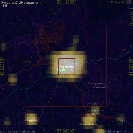
» NASA, Earths city lights 1995
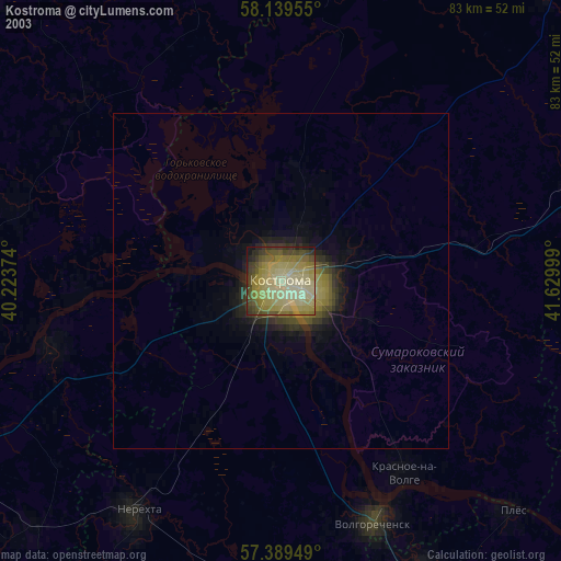
» NASA city lights 2003
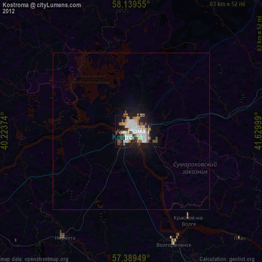
» Earth at Night: Flat Maps 2012, 2016