Krasnoye-na-Volge night lights from space
Night Light of Krasnoye-na-Volge (Kostroma Oblast) from space (Russia) Src. Average luminocity for 10x10km area is 2.7274% and for 50x50km: 1.6654%.
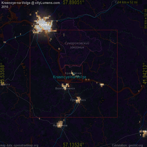
Analysis of Krasnoye-na-Volge night lights 2016
Square area 10x10 km:
 0%
0%90-99
0%80-89
0%70-79
0.6%60-69
0.36%50-59
0.95%40-49
0.48%30-39
0.24%20-29
2.62%10-19
0%0-9
94.76%Square area 50x50 km:
0.07%90-99
0.11%80-89
0.13%70-79
0.28%60-69
0.29%50-59
0.33%40-49
0.37%30-39
0.32%20-29
0.63%10-19
0.96%0-9
96.52%Clear (daylight) street map image can be seen on geolist.org.
Map coordinates:
57° 53' 25.8" North, 40° 32' 9.2" East
57° 30' 53.4" North, 41° 14' 20.4" East
57° 8' 6.9" North, 41° 56' 31.7" East
Some cities around Krasnoye-na-Volge sort by population:
• Kostroma
33.6 km =20.9 mi,  326°
326°
• Furmanov
30.1 km =18.7 mi,  195°
195°
• Nerekhta
40.2 km =25 mi,  261°
261°
• Privolzhsk
14.5 km =9 mi,  168°
168°
• Volgorechensk
9.8 km =6.1 mi,  210°
210°
• Navoloki
43.6 km =27.1 mi,  97°
97°
• Staraya Vichuga
47.1 km =29.3 mi,  125°
125°
• Sudislavl’
49.4 km =30.7 mi,  34°
34°
542024 (p: 7,953)
Sources (retrieved 2019-11-25):
» Earth at Night: Flat Maps 2012, 2016