Furmanov night lights from space
Night Light of Furmanov (Ivanovo) from space (Russia) Src. Average luminocity for 10x10km area is 7.3095% and for 50x50km: 1.8047%.
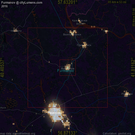
Analysis of Furmanov night lights 2016
Square area 10x10 km:
 0%
0%90-99
0.12%80-89
0.36%70-79
0%60-69
1.55%50-59
4.64%40-49
2.86%30-39
2.14%20-29
0.24%10-19
0%0-9
88.1%Square area 50x50 km:
0.08%90-99
0.17%80-89
0.17%70-79
0.22%60-69
0.37%50-59
0.37%40-49
0.52%30-39
0.19%20-29
0.47%10-19
1.03%0-9
96.41%Clear (daylight) street map image can be seen on geolist.org.
Map coordinates:
57° 37' 55.2" North, 40° 24' 19.3" East
57° 15' 13.1" North, 41° 6' 30.6" East
56° 52' 16.8" North, 41° 48' 41.8" East
Some cities around Furmanov sort by population:
• Ivanovo
29.7 km =18.5 mi,  196°
196°
• Kokhma
35.5 km =22.1 mi,  181°
181°
• Rodniki
41 km =25.5 mi,  113°
113°
• Nerekhta
39.3 km =24.4 mi,  305°
305°
• Privolzhsk
18.3 km =11.4 mi,  35°
35°
• Volgorechensk
20.8 km =12.9 mi,  7°
7°
• Novo-Talitsy
31.6 km =19.6 mi,  208°
208°
• Krasnoye-na-Volge
30.1 km =18.7 mi,  15°
15°
562309 (p: 38,380)
Sources (retrieved 2019-11-25):
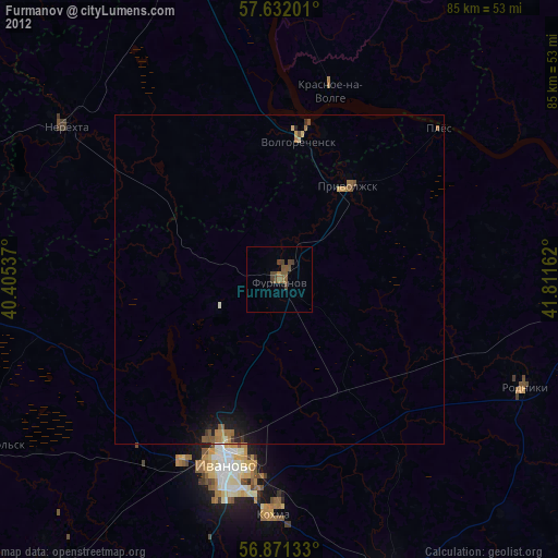
» Earth at Night: Flat Maps 2012, 2016