Danilov night lights from space
Night Light of Danilov (Jaroslavl) from space (Russia) Src. Average luminocity for 10x10km area is 1.7955% and for 50x50km: 0.0906%.
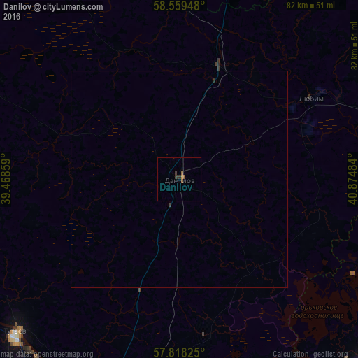
Analysis of Danilov night lights 2016
Square area 10x10 km:
 0%
0%90-99
0%80-89
0%70-79
0.43%60-69
0%50-59
1.3%40-49
0%30-39
1.3%20-29
0.43%10-19
0%0-9
96.54%Square area 50x50 km:
0%90-99
0%80-89
0%70-79
0.02%60-69
0%50-59
0.05%40-49
0.02%30-39
0.06%20-29
0.03%10-19
0%0-9
99.82%Clear (daylight) street map image can be seen on geolist.org.
Map coordinates:
58° 33' 34.1" North, 39° 28' 6.9" East
58° 11' 26.9" North, 40° 10' 18.2" East
57° 49' 5.7" North, 40° 52' 29.4" East
Some cities around Danilov sort by population:
• Yaroslavl
64.8 km =40.3 mi,  195°
195°
• Kostroma
64.9 km =40.3 mi,  136°
136°
• Tutayev
50.3 km =31.3 mi,  227°
227°
• Gryazovets
76.8 km =47.7 mi,  3°
3°
• Poshekhon’ye
69.5 km =43.2 mi,  299°
299°
• Nekrasovskoye
58.3 km =36.2 mi,  168°
168°
• Lyubim
35.5 km =22.1 mi,  57°
57°
• Konstantinovskiy
52.8 km =32.8 mi,  220°
220°
567183 (p: 16,808)
Sources (retrieved 2019-11-25):
» Earth at Night: Flat Maps 2012, 2016