Bugul’ma night lights from space
Night Light of Bugul’ma (Tatarstan Republic) from space (Russia) Src. Average luminocity for 10x10km area is 37.4569% and for 50x50km: 3.0189%.
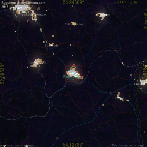
Analysis of Bugul’ma night lights 2016
Square area 10x10 km:
 6.22%
6.22%90-99
9.69%80-89
3.95%70-79
5.38%60-69
4.07%50-59
4.78%40-49
1.2%30-39
0.36%20-29
11.24%10-19
34.57%0-9
18.54%Square area 50x50 km:
0.45%90-99
0.66%80-89
0.21%70-79
0.31%60-69
0.49%50-59
0.48%40-49
0.16%30-39
0.05%20-29
0.48%10-19
2.91%0-9
93.79%Clear (daylight) street map image can be seen on geolist.org.
Map coordinates:
54° 56' 37.3" North, 52° 5' 43.4" East
54° 32' 16.1" North, 52° 47' 54.6" East
54° 7' 40.2" North, 53° 30' 5.9" East
Some cities around Bugul’ma sort by population:
• Al’met’yevsk
51.2 km =31.8 mi,  322°
322°
• Oktyabr’skiy
43.9 km =27.3 mi,  98°
98°
• Leninogorsk
22.9 km =14.2 mi,  288°
288°
• Bavly
33.9 km =21.1 mi,  118°
118°
• Urussu
43.4 km =27 mi,  81°
81°
• Nizhnyaya Maktama
43.3 km =26.9 mi,  326°
326°
• Aktyubinskiy
30.7 km =19.1 mi,  0°
0°
• Karabash
22.1 km =13.7 mi, 321°
571170 (p: 91,900)
Sources (retrieved 2019-11-25):
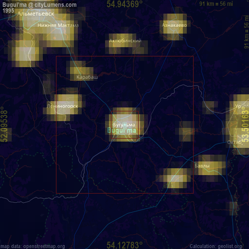
» NASA, Earths city lights 1995
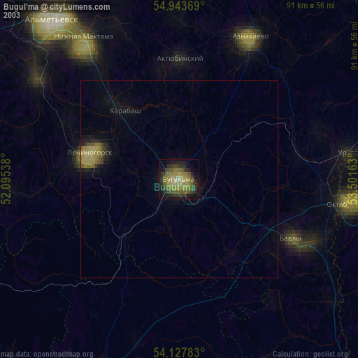
» NASA city lights 2003
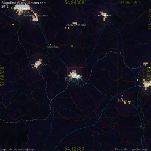
» Earth at Night: Flat Maps 2012, 2016