Kiselëvsk night lights from space
Night Light of Kiselëvsk (Kemerovo Oblast) from space (Russia) Src. Average luminocity for 10x10km area is 40.3598% and for 50x50km: 8.9955%.
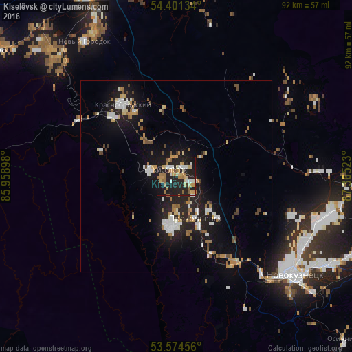
Analysis of Kiselëvsk night lights 2016
Square area 10x10 km:
 4.55%
4.55%90-99
5.05%80-89
5.93%70-79
10.48%60-69
6.82%50-59
3.91%40-49
0.38%30-39
0.51%20-29
24.75%10-19
37.25%0-9
0.38%Square area 50x50 km:
1.22%90-99
1.39%80-89
0.84%70-79
1.3%60-69
1.3%50-59
0.94%40-49
0.76%30-39
0.4%20-29
2.98%10-19
8.91%0-9
79.95%Clear (daylight) street map image can be seen on geolist.org.
Map coordinates:
54° 24' 4.8" North, 85° 57' 32.3" East
53° 59' 24" North, 86° 39' 43.6" East
53° 34' 28.4" North, 87° 21' 54.8" East
Some cities around Kiselëvsk sort by population:
• Novokuznetsk
39.2 km =24.4 mi,  131°
131°
• Prokop’yevsk
10.1 km =6.3 mi,  158°
158°
• Belovo
53 km =32.9 mi,  333°
333°
• Gur’yevsk
57.6 km =35.8 mi,  304°
304°
• Bachatskiy
48.4 km =30.1 mi,  314°
314°
• Inskoy
51 km =31.7 mi,  343°
343°
• Krasnobrodskiy
23.3 km =14.5 mi,  323°
323°
• Abagur
48.3 km =30 mi, 126°
1503277 (p: 104,000)
Sources (retrieved 2019-11-25):
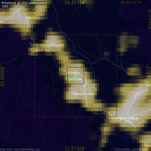
» NASA, Earths city lights 1995
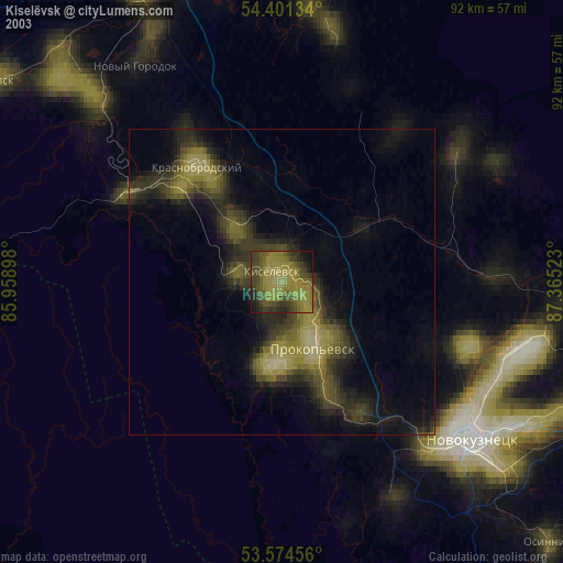
» NASA city lights 2003
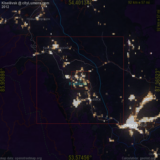
» Earth at Night: Flat Maps 2012, 2016