Karaidel’ night lights from space
Night Light of Karaidel’ (Bashkortostan Republic) from space (Russia) Src. Average luminocity for 10x10km area is 2.7727% and for 50x50km: 0.139%.
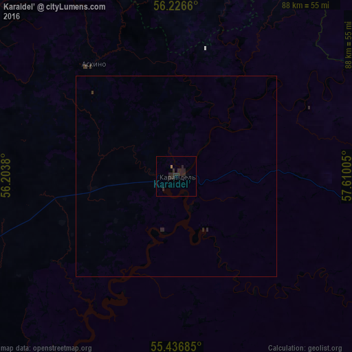
Analysis of Karaidel’ night lights 2016
Square area 10x10 km:
 0%
0%90-99
0%80-89
0%70-79
0%60-69
0.48%50-59
0%40-49
0%30-39
0.72%20-29
7.89%10-19
0%0-9
90.91%Square area 50x50 km:
0%90-99
0%80-89
0%70-79
0%60-69
0.02%50-59
0%40-49
0%30-39
0.05%20-29
0.4%10-19
0%0-9
99.54%Clear (daylight) street map image can be seen on geolist.org.
Map coordinates:
56° 13' 35.8" North, 56° 12' 13.7" East
55° 50' 1.4" North, 56° 54' 24.9" East
55° 26' 12.7" North, 57° 36' 36.2" East
Some cities around Karaidel’ sort by population:
• Chernushka
90.8 km =56.4 mi,  325°
325°
• Mesyagutovo
90.9 km =56.5 mi,  111°
111°
• Burayevo
93.6 km =58.2 mi,  270°
270°
• Askino
35.1 km =21.8 mi,  324°
324°
• Verkhniye Tatyshly
82.6 km =51.3 mi,  307°
307°
• Yazykovo
83.8 km =52.1 mi,  215°
215°
• Starobaltachevo
63.8 km =39.6 mi,  287°
287°
• Sars
80.9 km =50.3 mi,  10°
10°
552862 (p: 5,184)
Sources (retrieved 2019-11-25):
» Earth at Night: Flat Maps 2012, 2016