Sars night lights from space
Night Light of Sars (Perm) from space (Russia) Src. Average luminocity for 10x10km area is 6.3705% and for 50x50km: 0.5535%.
Analysis of Sars night lights 2016
Square area 10x10 km:
 1.25%
1.25%90-99
2.84%80-89
0.45%70-79
0.11%60-69
0.45%50-59
0.34%40-49
0.45%30-39
0.45%20-29
0%10-19
0.45%0-9
93.18%Square area 50x50 km:
0.1%90-99
0.15%80-89
0.02%70-79
0%60-69
0.04%50-59
0.06%40-49
0.1%30-39
0.1%20-29
0.09%10-19
0.02%0-9
99.32%Clear (daylight) street map image can be seen on geolist.org.
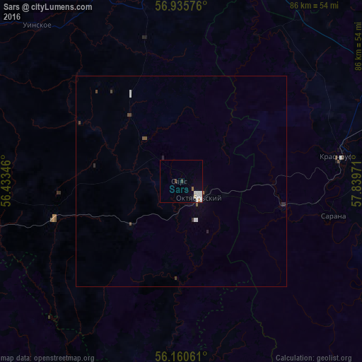
Map coordinates:
56° 56' 8.7" North, 56° 26' 0.5" East
56° 33' 0.6" North, 57° 8' 11.7" East
56° 9' 38.2" North, 57° 50' 23" East
Some cities around Sars sort by population:
• Krasnoufimsk
39.1 km =24.3 mi,  80°
80°
• Chernushka
65.2 km =40.5 mi,  265°
265°
• Suksun
67.8 km =42.1 mi,  13°
13°
• Askino
61.7 km =38.3 mi,  213°
213°
• Verkhniye Tatyshly
83.8 km =52.1 mi,  249°
249°
• Orda
73 km =45.4 mi,  349°
349°
• Karaidel’
80.9 km =50.3 mi,  190°
190°
• Achit
54.2 km =33.7 mi,  59°
59°
498501 (p: 5,404)
Sources (retrieved 2019-11-25):
» Earth at Night: Flat Maps 2012, 2016