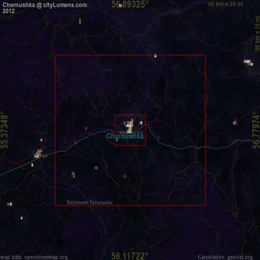
Chernushka night lights from space
Night Light of Chernushka (Perm) from space (Russia) Src. Average luminocity for 10x10km area is 11.0455% and for 50x50km: 0.6908%.
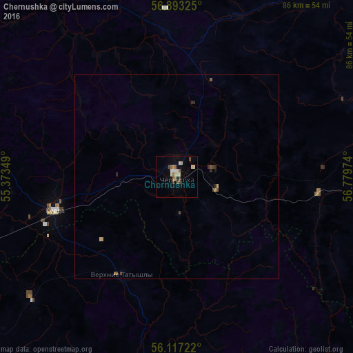
Analysis of Chernushka night lights 2016
Square area 10x10 km:
 1.36%
1.36%90-99
2.27%80-89
1.82%70-79
0.57%60-69
1.25%50-59
1.82%40-49
2.27%30-39
0%20-29
0%10-19
2.16%0-9
86.48%Square area 50x50 km:
0.06%90-99
0.09%80-89
0.13%70-79
0.04%60-69
0.07%50-59
0.15%40-49
0.16%30-39
0.05%20-29
0.1%10-19
0.12%0-9
99.02%Clear (daylight) street map image can be seen on geolist.org.
Map coordinates:
56° 53' 35.7" North, 55° 22' 24.6" East
56° 30' 26" North, 56° 4' 35.8" East
56° 7' 2" North, 56° 46' 47.1" East
Some cities around Chernushka sort by population:
• Yanaul
74.9 km =46.5 mi,  249°
249°
• Kuyeda
31.1 km =19.3 mi, 254°
• Burayevo
84.9 km =52.8 mi,  209°
209°
• Barda
55.3 km =34.4 mi,  327°
327°
• Askino
55.8 km =34.7 mi,  146°
146°
• Verkhniye Tatyshly
27.5 km =17.1 mi, 209°
• Starobaltachevo
57 km =35.4 mi,  189°
189°
• Sars
65.2 km =40.5 mi,  85°
85°
568608 (p: 35,942)
Sources (retrieved 2019-11-25):
» Earth at Night: Flat Maps 2012, 2016