Verkhniye Tatyshly night lights from space
Night Light of Verkhniye Tatyshly (Bashkortostan Republic) from space (Russia) Src. Average luminocity for 10x10km area is 0.8321% and for 50x50km: 0.918%.
Analysis of Verkhniye Tatyshly night lights 2016
Square area 10x10 km:
 0%
0%90-99
0%80-89
0%70-79
0%60-69
0.5%50-59
0.5%40-49
0.5%30-39
0%20-29
0%10-19
0%0-9
98.5%Square area 50x50 km:
0.07%90-99
0.15%80-89
0.14%70-79
0.02%60-69
0.16%50-59
0.13%40-49
0.33%30-39
0.05%20-29
0.04%10-19
0.1%0-9
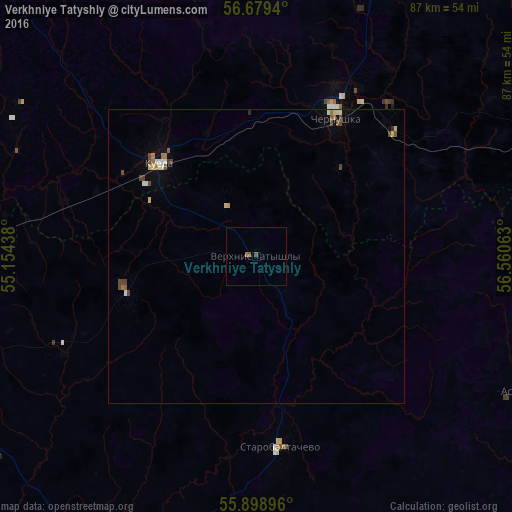
98.81%Clear (daylight) street map image can be seen on geolist.org.
Map coordinates:
56° 40' 45.8" North, 55° 9' 15.8" East
56° 17' 28.2" North, 55° 51' 27" East
55° 53' 56.3" North, 56° 33' 38.3" East
Some cities around Verkhniye Tatyshly sort by population:
• Chernushka
27.5 km =17.1 mi,  29°
29°
• Yanaul
57 km =35.4 mi,  268°
268°
• Kuyeda
22.7 km =14.1 mi,  313°
313°
• Burayevo
57.3 km =35.6 mi,  209°
209°
• Barda
72.7 km =45.2 mi,  347°
347°
• Krasnokholmskiy
60.5 km =37.6 mi,  236°
236°
• Askino
49.9 km =31 mi,  116°
116°
• Starobaltachevo
32.5 km =20.2 mi,  172°
172°
475030 (p: 6,341)
Sources (retrieved 2019-11-25):
» Earth at Night: Flat Maps 2012, 2016