Askino night lights from space
Night Light of Askino (Bashkortostan Republic) from space (Russia) Src. Average luminocity for 10x10km area is 0.5275% and for 50x50km: 0.0356%.
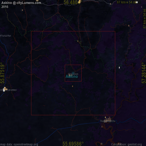
Analysis of Askino night lights 2016
Square area 10x10 km:
 0%
0%90-99
0%80-89
0%70-79
0%60-69
0%50-59
0%40-49
0%30-39
1.44%20-29
0%10-19
0%0-9
98.56%Square area 50x50 km:
0%90-99
0%80-89
0%70-79
0%60-69
0%50-59
0%40-49
0%30-39
0.1%20-29
0%10-19
0%0-9
99.9%Clear (daylight) street map image can be seen on geolist.org.
Map coordinates:
56° 28' 49.4" North, 55° 52' 30.7" East
56° 5' 24.5" North, 56° 34' 41.9" East
55° 41' 45.1" North, 57° 16' 53.2" East
Some cities around Askino sort by population:
• Krasnoufimsk
93 km =57.8 mi,  51°
51°
• Chernushka
55.8 km =34.7 mi,  326°
326°
• Kuyeda
71.9 km =44.7 mi,  301°
301°
• Burayevo
77.9 km =48.4 mi,  249°
249°
• Verkhniye Tatyshly
49.9 km =31 mi, 296°
• Starobaltachevo
41.6 km =25.8 mi,  256°
256°
• Sars
61.7 km =38.3 mi,  33°
33°
• Karaidel’
35.1 km =21.8 mi,  144°
144°
580577 (p: 6,866)
Sources (retrieved 2019-11-25):
» Earth at Night: Flat Maps 2012, 2016