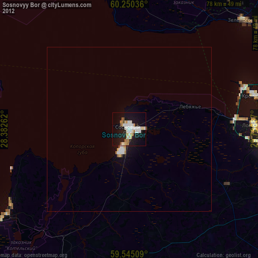
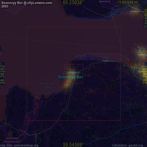
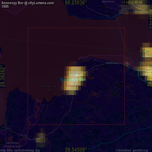
Sosnovyy Bor night lights from space
Night Light of Sosnovyy Bor (Leningradskaya Oblast') from space (Russia) Src. Average luminocity for 10x10km area is 44.4167% and for 50x50km: 2.9987%.

Analysis of Sosnovyy Bor night lights 2016
Square area 10x10 km:
 12.01%
90-99
13.85%80-89
2.27%70-79
4.44%60-69
2.6%50-59
1.62%40-49
0.43%30-39
5.74%20-29
18.61%10-19
26.52%0-9
11.9%Square area 50x50 km:
0.64%90-99
0.78%80-89
0.16%70-79
0.23%60-69
0.17%50-59
0.28%40-49
0.3%30-39
0.33%20-29
1%10-19
2.27%0-9
93.85%Clear (daylight) street map image can be seen on geolist.org.
Map coordinates:
60° 15' 1.3" North, 28° 22' 57.4" East
59° 53' 58.6" North, 29° 5' 8.7" East
59° 32' 42.3" North, 29° 47' 19.9" East
Some cities around Sosnovyy Bor sort by population:
• Peterhof
45.5 km =28.3 mi,  92°
92°
• Petrodvorets
39.9 km =24.8 mi, 90°
• Kronstadt
39.4 km =24.5 mi,  74°
74°
• Lomonosov
38.3 km =23.8 mi, 88°
• Zelenogorsk
47.8 km =29.7 mi,  45°
45°
• Roshchino
48.7 km =30.3 mi,  36°
36°
• Ol’gino
47.2 km =29.3 mi,  98°
98°
• Lebyazh’ye
19.6 km =12.2 mi, 69°
490172 (p: 68,563)
Sources (retrieved 2019-11-25):
» NASA, Earths city lights 1995
» NASA city lights 2003
» Earth at Night: Flat Maps 2012, 2016