Kurortnyy night lights from space
Night Light of Kurortnyy (Leningradskaya Oblast') from space (Russia) Src. Average luminocity for 10x10km area is 38.5899% and for 50x50km: 22.7291%.
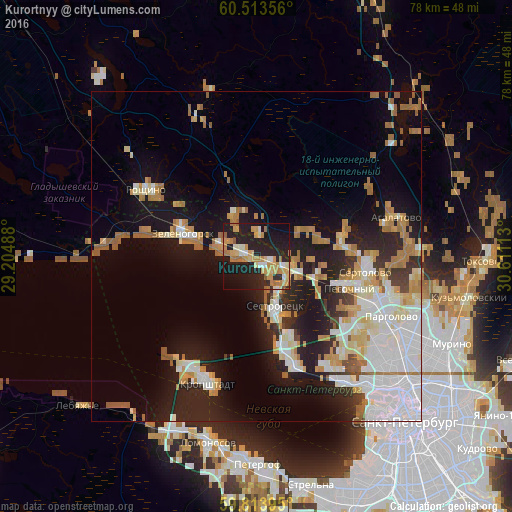
Analysis of Kurortnyy night lights 2016
Square area 10x10 km:
 2.27%
2.27%90-99
5.79%80-89
7.33%70-79
12.19%60-69
5.89%50-59
2.07%40-49
0%30-39
1.34%20-29
19.73%10-19
34.4%0-9
8.99%Square area 50x50 km:
5.84%90-99
4.39%80-89
2.53%70-79
3.19%60-69
3.37%50-59
1.78%40-49
0.73%30-39
1.3%20-29
5.64%10-19
13.23%0-9
58.01%Clear (daylight) street map image can be seen on geolist.org.
Map coordinates:
60° 30' 48.8" North, 29° 12' 17.6" East
60° 9' 56.2" North, 29° 54' 28.8" East
59° 48' 50.2" North, 30° 36' 40.1" East
Some cities around Kurortnyy sort by population:
• Sertolovo
16.4 km =10.2 mi,  98°
98°
• Kronstadt
20.5 km =12.7 mi,  202°
202°
• Sestroretsk
8.1 km =5 mi,  157°
157°
• Zelenogorsk
12 km =7.5 mi,  288°
288°
• Roshchino
19.1 km =11.9 mi,  300°
300°
• Pesochnyy
14.9 km =9.3 mi,  108°
108°
• Tarkhovka
11.6 km =7.2 mi, 161°
• Agalatovo
21.1 km =13.1 mi,  73°
73°
8436165 (p: 70,589)
Sources (retrieved 2019-11-25):
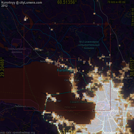
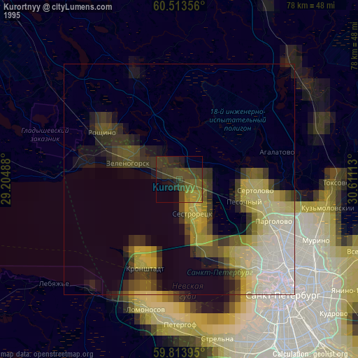
» NASA, Earths city lights 1995
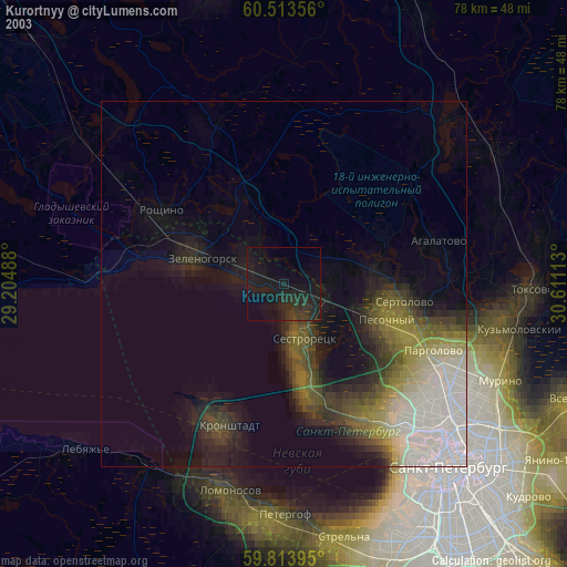
» NASA city lights 2003
» Earth at Night: Flat Maps 2012, 2016