Gundelen night lights from space
Night Light of Gundelen (Kabardino-Balkariya Republic) from space (Russia) Src. Average luminocity for 10x10km area is 0% and for 50x50km: 0.549%.
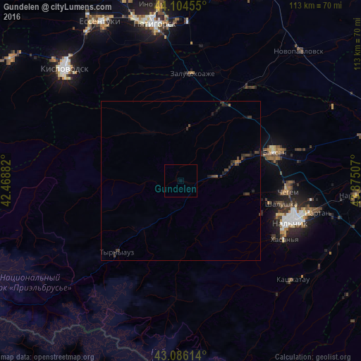
Analysis of Gundelen night lights 2016
Square area 10x10 km:
 0%
0%90-99
0%80-89
0%70-79
0%60-69
0%50-59
0%40-49
0%30-39
0%20-29
0%10-19
0%0-9
100%Square area 50x50 km:
0%90-99
0%80-89
0%70-79
0%60-69
0.07%50-59
0.07%40-49
0.34%30-39
0.29%20-29
0.3%10-19
0.33%0-9
98.6%Clear (daylight) street map image can be seen on geolist.org.
Map coordinates:
44° 6' 16.4" North, 42° 28' 7.8" East
43° 35' 51" North, 43° 10' 19" East
43° 5' 10.1" North, 43° 52' 30.3" East
Some cities around Gundelen sort by population:
• Baksan
31 km =19.3 mi,  71°
71°
• Dugulubgey
30.3 km =18.8 mi,  76°
76°
• Islamey
24.4 km =15.2 mi, 69°
• Zayukovo
13.2 km =8.2 mi, 80°
• Sarmakovo
16.6 km =10.3 mi,  7°
7°
• Malka
26 km =16.2 mi,  28°
28°
• Kamennomostskoye
18.3 km =11.4 mi,  328°
328°
• Kyzburun Pervyy
18.9 km =11.7 mi, 71°
557988 (p: 6,363)
Sources (retrieved 2019-11-25):
» Earth at Night: Flat Maps 2012, 2016