Staryye Ozinki night lights from space
Night Light of Staryye Ozinki (Saratovskaya Oblast) from space (Russia) Src. Average luminocity for 10x10km area is 0.7687% and for 50x50km: 0.0326%.
Analysis of Staryye Ozinki night lights 2016
Square area 10x10 km:
 0%
0%90-99
0%80-89
0%70-79
0%60-69
0.53%50-59
0%40-49
0%30-39
0.53%20-29
0.53%10-19
0%0-9
98.4%Square area 50x50 km:
0%90-99
0%80-89
0%70-79
0%60-69
0.02%50-59
0%40-49
0%30-39
0.02%20-29
0.02%10-19
0%0-9
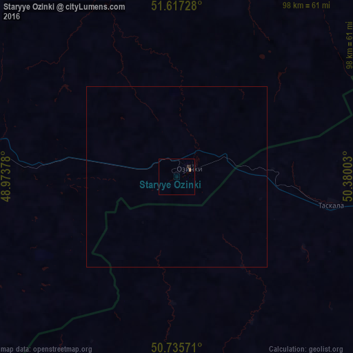
99.94%Clear (daylight) street map image can be seen on geolist.org.
Map coordinates:
51° 37' 2.2" North, 48° 58' 25.6" East
51° 10' 43" North, 49° 40' 36.8" East
50° 44' 8.6" North, 50° 22' 48.1" East
Some cities around Staryye Ozinki sort by population:
• Oral, KZ
117.9 km =73.3 mi,  87°
87°
• Pugachev
110.7 km =68.8 mi,  326°
326°
• Yershov
99.3 km =61.7 mi,  281°
281°
• Dergachi
63.7 km =39.6 mi, 275°
• Gornyy
101.7 km =63.2 mi,  309°
309°
• Tasqala, KZ
43.7 km =27.2 mi,  99°
99°
• Ivanteyevka
127.2 km =79 mi,  341°
341°
• Perelyub
89.4 km =55.6 mi,  31°
31°
513329 (p: 9,733)
Sources (retrieved 2019-11-25):
» Earth at Night: Flat Maps 2012, 2016